
What is recorded here
Hot stones cracked and hissed in water, filling the shallow depression above Dunbulcaun Bay with steam and the smell of wet earth. People may have gathered there to cook, clean or mark a season, while the channeled stream kept the field alive. The plough revealed the work only in 1984, long after the stones cooled and the pasture forgot the heat.
In a broad shallow depression in gently undulating pastureland to the N of Dunbulcaun Bay. A stream, now channeled, flows c. 120m to the W. This fulacht fiadh, along with two others (GA095-166---- and GA095-167----), was revealed while ploughing in 1984. It consists of a roughly circular area of dark soil (11.6m E-W;10.5m N-S; H 0.4m) composed of two areas of small fire-fractured stones, flanking a roughly central area of fine dark-grey stone-free clay. Some 10m to the S is another small area of dark-grey fine clay (E-W 2m). Possibly a hearth but no charcoal is discernible.
Compiled by: Galway Archaeological Survey, UCG
Date of upload: 9 March 2017
The monument record does not grant public access. Check the route and ask the landowner before entering private land.
- What survives
- Recorded monument
Places near here
 Ballynamanagh Bridgebridge · 242 yd
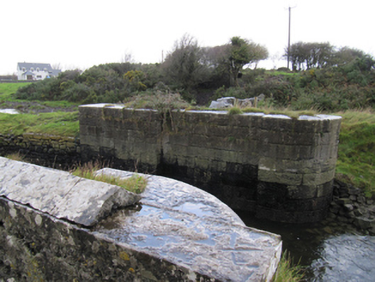 locklock · 411 yd
 CahergalFairy fort / stone ringfort · 730 yd
 IndicatedFairy fort / stone ringfort · 902 yd
 Bawn in Cregganna MoreBawn · 1740 yd
 CastleCastle, unclassified · 1.4 mi
 Loughaun WoodWood · 1.7 mi
 Drumacoo Monastic SiteHeritage attraction · 1.9 mi
 Kilcornan ForestWood · 2.1 mi
 MweenisharanIslet · 2.2 mi
 Mweenish PointHeadland · 2.8 mi
 Mweenish IslandIslet · 3.3 mi
Other information
Photo: Credit not shown in the picture search · Rights wording not checked; contact us if this picture should be removed