What is recorded here
In undulating pastureland. A hachured feature marked on the 1944-5 revision of the OS 6-inch map proved on inspection in 1984 to be a sand quarry, part of which was being used as a silage pit. As it is of post-AD 1700 date it does not come within the remit of the Archaeological Survey of Ireland.
Compiled by: Olive Alcock
Date of upload: 13 August 2014
The monument record does not grant public access. Check the route and ask the landowner before entering private land.
- What survives
- Recorded monument
Places near here
 LisnapeakFairy fort / earthen ringfort · 799 yd
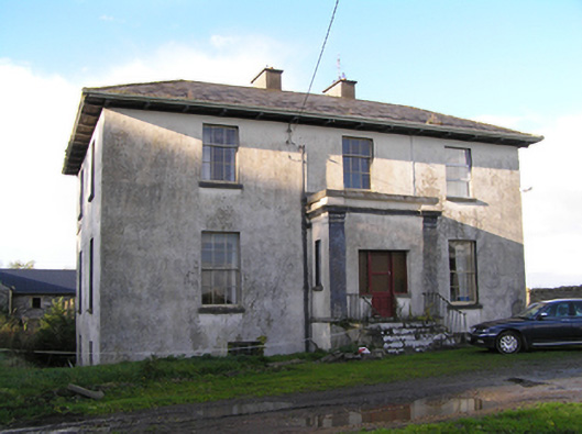 Stowlin Househouse · 1142 yd
 St Patricks WellHoly well · 1454 yd
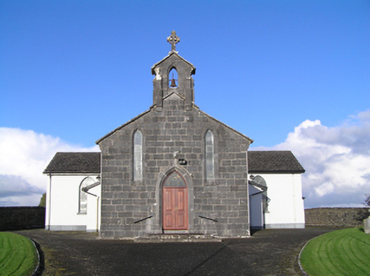 Catholic Church of Christ the Kingchurch/chapel · 1493 yd
 Longford Castle (in ruins)Castle, unclassified · 2.9 mi
 Ballymore CastleCastle, tower house · 3.2 mi
 Silver FirSilver Fir · 3.2 mi
 European YewEuropean Yew · 3.9 mi
 Redmond HillMountain / peak · 3.9 mi
 Ballymacegan IslandIsland · 4.6 mi
 Long IslandIsland · 5.0 mi
 The bloody HollowHeritage attraction · 7.8 mi