What is recorded here
In generally level pasture, in the E corner of the field. Sub-circular area (dims. 20m N-S; 14m E-W) defined by gentle scarp (Wth 3.8m; H 0.3m) and fosse (top Wth 9.8m; basal Wth 2.5m; D 0.6m) S-W-N-ENE. Truncated by pond ENE-S which occupies SE-quadrant. Base of fosse is wet and water probably flows into it when levels in the pond are high. Enclosure (TS069-068----) located 900m to NE.
Compiled by: Jean Farrelly
Date of upload: 26 August 2011
A local ancient tomb; wider significance not recorded.
The monument record does not grant public access. Check the route and ask the landowner before entering private land.
- What survives
- Recorded monument
Places near here
 Ballinattin Househouse · 571 yd
 Enclosure in Moorstown (mora Par.)Enclosure · 1004 yd
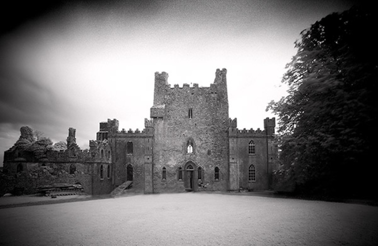 Castle Blake in ruinsCastle, tower house · 1540 yd
 Site of Black CastleCastle, unclassified · 1.0 mi
 Mora Church (in ruins)Church · 1.1 mi
 St. Nicholas WellHoly well · 1.1 mi
 Pedunculate OakPedunculate Oak · 2.9 mi
 European YewEuropean Yew · 4.9 mi
 East GateMemorial · 5.0 mi
 Kilknockan HillMountain / peak · 5.7 mi
 Caher AbbeyHeritage attraction · 6.7 mi
 Siege of Cahir Castlesiege · 6.8 mi