
What is recorded here
In pasture, on a slight rise 20m W of a stream.
This possible enclosure is not depicted on the 1838 OS 6-inch. It is recoded on the 1919 OS 6-inch map and in an aerial photograph (SMR file: GSI M 682 -1; Roll 218, pr. 4) as a C-shaped area (max. dim. c. 25-30m NW–SE) defined SE‒N by a curving enclosing element, probably a stone wall, partly incorporated into a linear field fence at SE; and open to NE. It was removed during land reclamation. A slightly raised area of ground (diam. c. 20-22m) appears to mark the original location.
Compiled by: Jane O’Shaughnessy
Date of upload: 15 June 2021
The monument record does not grant public access. Check the route and ask the landowner before entering private land.
- What survives
- Recorded monument
Places near here
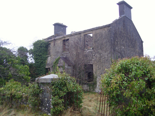 Kilmovee Garda Síochána Stationgarda station/constabulary barracks · 328 yd
 Catholic Church of the Immaculate Conceptionchurch/chapel · 1191 yd
 CashelFairy fort / stone ringfort · 1554 yd
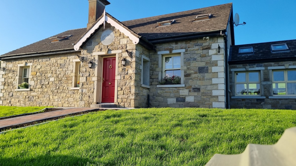 Enclosure in KilcashelEnclosure · 1720 yd
 Crunaun Castle (in ruins)Castle, unclassified · 3.9 mi
 Casatle (ruins)Castle, unclassified · 4.2 mi
 Bockagh HillMountain / peak · 5.0 mi
 East Mayo Brigade MonumentMemorial · 6.5 mi
 Bawn IslandIslet · 11 mi
 Clonalis HouseMuseum · 11 mi
 Knock ShrineHeritage attraction · 11 mi
 Rose PointHeadland · 11 mi
Other information
Photo: Credit not shown in the picture search · Rights wording not checked; contact us if this picture should be removed