What is recorded here
In pasture, located 200m SW of the Owenlobnaglaur river, in an area of mixed grassland and bog. Roughly circular area (diam. c. 25m NE−SW) defined by a stone bank/wall (Wth 2-2.4m; int. H 0.5m; ext. H 0.8m at SE). Dense overgrowth hampered inspection of the stone bank. It is evident in parts as a jumble of stones and boulders; at W it consists of a stony scarp (ext. H c. 0.8m). The rath is bisected centrally by a field wall on a NE−SW axis, and another wall on a N−S axis abuts it at NNW. Dense cover of hawthorn, elder, brambles and nettles, with stones and boulders scattered across the interior.
From the National Monuments Service (Archaeological Survey of Ireland) record MA063-002
Places near here
Photo credits
- National Inventory of Architectural Heritage
- Duncan Grant, Wikimedia Commons · CC BY-SA 2.0
- Aiden Clarke, Wikimedia Commons · CC BY-SA 2.0
- Mike Searle, Wikimedia Commons · CC BY-SA 2.0
- Jon Sullivan, Wikimedia Commons · CC0
- Oliver Dixon, Geograph · CC BY-SA 2.0
- Richard Webb, Geograph · CC BY-SA 2.0
- Wikimedia Commons contributor · CC BY 2.5
- Wanfried-Dublin, Wikimedia Commons · CC BY-SA 4.0
- Sawyer777, Wikimedia Commons · CC BY-SA 4.0
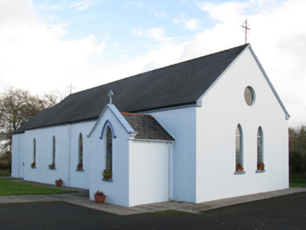 Saint Joseph's Catholic ChurchChurch/chapel · 1.6 mi
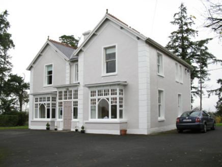 presbytery/parochial/curate's house2.0 mi
 CashelFairy fort / stone ringfort · 6.7 mi
 ToberaraghtHoly well · 7.7 mi
_-_geograph.org.uk_-_4073628.jpg/250px-Castles_of_Connacht,_Moygara,_Sligo_(1)_-_geograph.org.uk_-_4073628.jpg "Photo: Mike Searle, Wikimedia Commons · CC BY-SA 2.0") Moygara CastleCastle · 8.5 mi
Moygara CastleCastle · 8.5 mi_-_geograph.org.uk_-_4073636.jpg/250px-Castles_of_Connacht,_Moygara,_Sligo_(2)_-_geograph.org.uk_-_4073636.jpg "Photo: Mike Searle, Wikimedia Commons · CC BY-SA 2.0") Moygara Castle (in Ruins)Bawn · 8.5 mi
Moygara Castle (in Ruins)Bawn · 8.5 mi Caves of KeshCave · 11 mi
 Kesh CorannMountain / peak · 11 mi
 Lough Talt TrailVisitor information · 12 mi
 Curlew MountainsMountain / peak · 12 mi
 Giants GraveArchaeological place · 18 mi
 Queen Medb: RathcroghanLegend location · 20 mi
Explorer Tom Queen Medb: Rathcroghan is where the Táin starts turning a quarrel about a bull into an epic. Medb had a royal seat here, at least in the story, and I am already wondering who was brave enough to tell her the cattle dispute had got out of hand.
More archaeology and monuments in County Mayo · All of County Mayo

What do you know about this place?Tap to add a comment or ask a question