What is recorded here
In pasture in an area of mixed grassland and bog, straddling a slight rise. Views good to N and E, but restricted now elsewhere by field fences and trees. Raised circular area (c. 35m NNE−SSW) defined by a scarp topped by a ruined drystone wall. In parts the wall rises 0.5m above interior ground level, but for most of the circuit it has collapsed into a dense band of loose stone tumble. In parts at SE−S and at SW−W the scarp is faced with drystone walling (H 1.8m at S). There is a low eroded gap (W c. 1m) at SE, but it is unclear if this is an original entrance. The level interior is strewn with loose stones. It contains a Man-made underground passage (MA051-007003-), marked as ‘Cave’ on the 1838 OS 6-inch map. The interior was used as a burial ground (MA051-007002-); a number of small upright slabs mark or outline graves. The perimeter is thickly ringed with blackthorn, hawthorn and elder trees; elder and thorn bushes also encroaching on interior, which impeded inspection. A slumped heap of stone –probably field clearance – is piled against the scarp at S. An old trackway (Wth 1m) flanked by field fences clips the NE edge of the rath.
In pasture in an area of mixed grassland and bog, straddling a slight rise. Views good to N and E, but restricted now elsewhere by field fences and trees. Raised circular area (c. 35m NNE−SSW) defined by a scarp topped by a ruined drystone wall. In parts the wall rises 0.5m above interior ground level, but for most of the circuit it has collapsed into a dense band of loose stone tumble. In parts at SE−S and at…
From the National Monuments Service (Archaeological Survey of Ireland) record MA051-007001
The monument record does not grant public access. Check the route and ask the landowner before entering private land.
- What survives
- Recorded monument
Places near here
Photo credits
- National Inventory of Architectural Heritage
- Duncan Grant, Wikimedia Commons · CC BY-SA 2.0
- Aiden Clarke, Wikimedia Commons · CC BY-SA 2.0
- Mike Searle, Wikimedia Commons · CC BY-SA 2.0
- Jon Sullivan, Wikimedia Commons · CC0
- Oliver Dixon, Geograph · CC BY-SA 2.0
- Richard Webb, Geograph · CC BY-SA 2.0
- Wikimedia Commons contributor · CC BY 2.5
- Wanfried-Dublin, Wikimedia Commons · CC BY-SA 4.0
- D Gore, Geograph · CC BY-SA 2.0
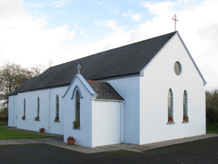 Saint Joseph's Catholic ChurchChurch/chapel · 1.2 mi
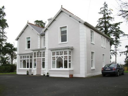 presbytery/parochial/curate's house2.5 mi
 CashelFairy fort / stone ringfort · 7.2 mi
 ToberaraghtHoly well · 8.0 mi
_-_geograph.org.uk_-_4073636.jpg/250px-Castles_of_Connacht,_Moygara,_Sligo_(2)_-_geograph.org.uk_-_4073636.jpg "Photo: Mike Searle, Wikimedia Commons · CC BY-SA 2.0") Moygara Castle (in Ruins)Bawn · 8.7 mi
Moygara Castle (in Ruins)Bawn · 8.7 mi_-_geograph.org.uk_-_4073628.jpg/250px-Castles_of_Connacht,_Moygara,_Sligo_(1)_-_geograph.org.uk_-_4073628.jpg "Photo: Mike Searle, Wikimedia Commons · CC BY-SA 2.0") Moygara CastleCastle · 8.7 mi
Moygara CastleCastle · 8.7 mi Caves of KeshCave · 11 mi
 Kesh CorannMountain / peak · 11 mi
 Lough Talt TrailVisitor information · 12 mi
 Curlew MountainsMountain / peak · 12 mi
 Giants GraveArchaeological place · 18 mi
 Green IslandIslet · 20 mi
More archaeology and monuments in County Mayo · All of County Mayo
What do you know about this place?