What is recorded here
Indicated was a forty-two metre fairy fort on a north-facing Cork slope, visible in 1842 but levelled into ordinary tillage before later surveys. Its stones likely feed the surrounding field, turning ancient boundary into soil for potatoes or grains. Forgetting the circle does not erase it; it only redirects human attention from the shape to the harvest.
In tillage, on N-facing slope. Shown on 1842 OS 6-inch map as circular enclosure (diam. c. 42m); as N->S kink in NNW-SSE field fence on later eds OS 6-inch map. Levelled; stone spread in field; no other surface trace.
The above description is derived from the published 'Archaeological Inventory of County Cork. Volume 2: East and South Cork' (Dublin: Stationery Office, 1994). In certain instances the entries have been revised and updated in the light of recent research.
Date of upload/revision: 14 January 2009
The monument record does not grant public access. Check the route and ask the landowner before entering private land.
- What survives
- Recorded monument
Places near here
 sign postsign post · 1305 yd
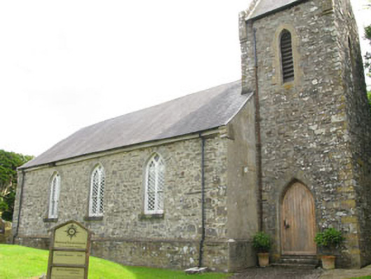 Nohoval Church of Ireland Churchchurch/chapel · 1332 yd
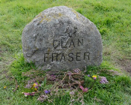 Grave YdGraveyard · 1342 yd
 Fulacht fia in BallybogeyFulacht fia · 1.0 mi
 Kinure Castle (Site of)Castle, unclassified · 1.5 mi
 New Foundland Bay viewViewpoint · 1.7 mi
 Nohaval CoveBeach / strand · 1.7 mi
 Creek Newfoundland BsyViewpoint · 1.8 mi
 Barrys Castle (Site of)Castle, unclassified · 2.1 mi
 Pallastown WoodWood · 3.1 mi
 Sovereign IslandIslet · 3.3 mi
 Rocky BayBeach / strand · 3.8 mi
Other information
Photo: Credit not shown in the picture search · Rights wording not checked; contact us if this picture should be removed