What is recorded here
Situated on a low knoll on the S foothills of the Curlew Mountains. Circular grass-covered but poached area (diam. 14m N-S; 13m E-W) defined by a scarp (H 0.4-0.7m) N-SW, which merges into the slope elsewhere. There is no visible fosse or entrance.
From the National Monuments Service (Archaeological Survey of Ireland) record RO005-008
Places near here
Photo credits
- Oliver Dixon, Geograph · CC BY-SA 2.0
- National Inventory of Architectural Heritage
- Digital Eye, Wikimedia Commons · CC BY-SA 4.0
- Gavigan 01 at English Wikipedia, Wikimedia Commons · CC BY 2.5
- Wikimedia Commons contributor · CC BY 2.5
- jbraine, Wikimedia Commons · CC BY 2.0
- abdallahh from Montréal, Canada, Wikimedia Commons · CC BY 2.0
- Daniel Waters, Co. Sligo, Ireland from Ireland, Wikimedia Commons · CC BY 2.0
- Stephan van Helden, Wikimedia Commons · CC BY-SA 4.0
- Suse, Geograph · CC BY-SA 2.0
- Kieran Campbell, Geograph · Creative Commons Attribution-ShareAlike 2.0
 Saint Beaidh's Church (Ardcarne)Church/chapel · 1143 yd
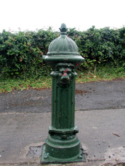 Historic buildingOfficially recorded historic building · 1218 yd
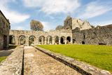 Boyle AbbeyHeritage attraction · 1698 yd
 Battle of Curlew PassMajor battlefield · 1.1 mi
 Hog's IslandIslet · 2.5 mi
 Curlew MountainsMountain / peak · 2.8 mi
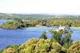 Lough Key Forest ParkWood · 2.9 mi
 Western Redcedar3.1 mi
 Ballinafad CastleCastle · 3.1 mi
 Horse-chestnut3.2 mi
 Castle IslandIslet · 3.4 mi
 IndicatedGraveyard · 4.8 mi
More archaeology and monuments in County Roscommon · All of County Roscommon

What do you know about this place?Tap to add a comment or ask a question