What is recorded here
Indicated is a broken earthen ring on a Galway rise, its fosse fading beneath scrub and its interior choked with fir trees. The bank still carries faint stone-facing, but modern gaps have cut through what remained. It is the kind of place where human hands shaped the land, then disappeared so completely that only the shape of their effort survives.
On a rise in undulating scrubland. Poorly preserved subcircular rath (c. 41m E-W; c. 39m N-S) defined by an earthen bank and external fosse; the latter is visible from N through E to SW. Traces of internal stone-facing are visible on the bank from N through E to S. Numerous gaps appear to be modern. The interior is densely planted with fir trees.
Compiled by: Galway Archaeological Survey, UCG
Date of upload: 13 April 2018
The monument record does not grant public access. Check the route and ask the landowner before entering private land.
- What survives
- Recorded monument
Places near here
 Scalpeen RockNamed rock · 1.3 mi
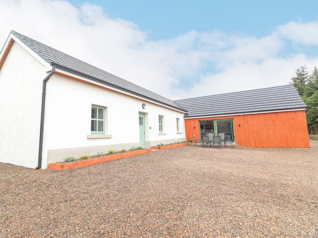 Enclosure in CurhoorEnclosure · 1.4 mi
 CaveMan-made underground passage · 1.7 mi
 Soldier's Bridgebridge · 1.9 mi
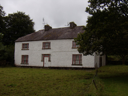 Abbeyville Househouse · 2.1 mi
 Site of CastleCastle, unclassified · 2.3 mi
 KnockapollboyMountain / peak · 3.0 mi
 Ash IslandIslet · 3.3 mi
 Island McCooIslet · 3.4 mi
 Derrybrien Bog SlideHeritage attraction · 3.4 mi
 CastleCastle, tower house · 3.5 mi
 Long PointHeadland · 3.7 mi