What is recorded here
In pasture, located on top of a ridge with a natural fall of ground to N.
The monument consist of the W half of an originally circular rath. It is depicted as a D-shaped embanked enclosure on the 1837 OS 6-inch map, indicating that the E portion of the rath had already been removed by 1837. The extant remains consist of a slightly raised, D-shaped area (39.4m N–S; cord 22m E–W) defined on the curving side S–N by an earthen bank (Wth 3.8m; int. H 0.8m; ext. H 1.4m) with an external fosse (Wth 3.3m; D 0.35m). A field fence/property boundary defines the straight side at E. To E of the fence, no trace of the rath is evident at ground level; the ground surface here is somewhat sunken and it appears that this portion of the rath was quarried out. According to local tradition, there is a children’s burial ground (MA062-033001-) in the rath. The bank is ringed by hawthorn, and erosion by farm stock is evident in parts.
Compiled by: Jane O’Shaughnessy
Date of upload: 25 November 2020
The monument record does not grant public access. Check the route and ask the landowner before entering private land.
- What survives
- Recorded monument
Places near here
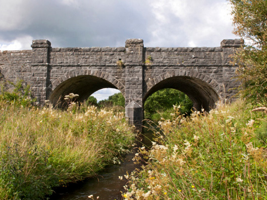 Sonnagh Bridgebridge · 442 yd
 bridgebridge · 673 yd
 Enclosure in TombohollaEnclosure · 1.4 mi
 Enclosure in Killeen (costello By., Kilbeagh Par.)Enclosure · 2.0 mi
 Procession Of The SoulsMemorial · 4.5 mi
 Brabazon WoodsForest · 4.6 mi
 Youth Memorial GardenMemorial · 4.9 mi
 HawthornHawthorn · 5.0 mi
 Old Cave Burial GroundArchaeological place · 6.4 mi
 Castle (in Ruins)Castle, tower house · 6.6 mi
 Thorn CaveCave · 7.2 mi
 Rath Castle in ruinsCastle, tower house · 8.0 mi
Other information
Photo: Credit not shown in the picture search · Rights wording not checked; contact us if this picture should be removed