What is recorded here
On poor level, rough grazing at the S end of the former 'Black Wood' which has been cleared. An almost square area (dims. L 50m N-S; Wth 48m E-W) is defined along the N and E by a very low earthen bank (int. H 0.3-0.8m; Wth 3.9m) and a broad outer fosse (Wth 5.5-6.5m; D 0.6-1.1m). Along the W, the line of the fosse is traceable as a cropmark of lush grass (Wth 2.5-3.5m) while along the S a sporadic cropmark (Wth 2-8m) with rougher ground underfoot marks the line of the fosse. At the internal NE corner, the ground level is up to 1.2m in height above the rest of the interior, which is raised slightly above the surrounding ground.
Compiled by: Gearóid Conroy
Date of upload: 27 November 2013
The monument record does not grant public access. Check the route and ask the landowner before entering private land.
- What survives
- Recorded monument
Places near here
 Enclosure in ClogorrowEnclosure · 908 yd
 EnclosureEnclosure, large enclosure · 976 yd
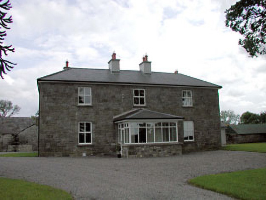 Sawyerswood Housefarm house · 1397 yd
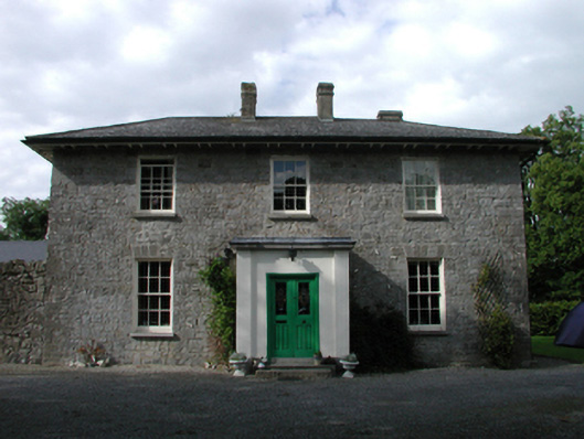 Ardmore Housefarm house · 1.0 mi
 Scots PineScots Pine · 1.4 mi
 European BeechEuropean Beech · 1.8 mi
 History of Moat of ArdscullVisitor information · 1.8 mi
 Gorden Bennet Race memorialMemorial · 1.8 mi
 Ardscull MoatCastle, motte · 1.8 mi
 Bawn in Townparks (athy West Urban Ed)Bawn · 2.4 mi
 Athy War MemorialMemorial · 2.4 mi
 Town HallMuseum · 2.6 mi