What is recorded here
Situated on a knoll on a S-facing slope in the valley of a small SE-NW stream, which is c. 30m to the S and which joins the River Dee c. 1.5km to the NW. The site of the parish church of Siddan (ME006-056001-) is within a rectangular graveyard (max. dims c. 87m N-S; c. 50m E-W) defined by masonry walls where the present St. David’s Church of Ireland church that was built in 1881 stands, but the precise location of the earliest church structure is not known. In the graveyard is a cross-slab (ME006-056002-) and the font from Drumcondrath (ME006-012003-) is now outside the present church (ME006-056004-).
Compiled by: Michael Moore
Date of upload: 20 May, 2014
Amended: 7 August, 2014
The monument record does not grant public access. Check the route and ask the landowner before entering private land.
- What survives
- Recorded monument
Places near here
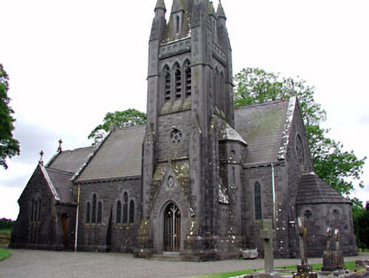 Saint David's Church (Siddan)church/chapel · 33 yd
 Font (present location) in SiddanFont (present location) · 40 yd
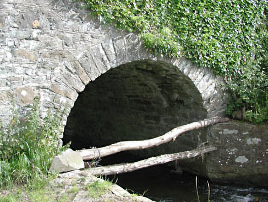 bridgebridge · 166 yd
 Site of Siddan castleCastle, unclassified · 370 yd
 Site of Old CastleCastle, unclassified · 542 yd
 Gun HillMountain / peak · 718 yd
 Cromwells BatteryFortification · 719 yd
 Ugly HillMountain / peak · 3.0 mi
 European YewEuropean Yew · 3.1 mi
 Valley WoodWood · 3.4 mi
 Nobber GreenwayMemorial · 4.4 mi
 Sir Frederick Foster MemorialMemorial · 5.6 mi