What is recorded here
In rough, ungrazed pasture in area of disused quarry. Depicted on the first 1840 edition OS 6-inch map as an irregular enclosure with a linear field boundary extending from the NW and SE-sides. On the 2nd 1904 ed. a curving bank is depicted (chord c. 40m) immediately E of a quarry face, which appears to be upcast from the quarry. According to local information, this has always been in use as a quarry. A possible ringfort (TS066-135----) lies c. 100m to the ENE.
Compiled by: Jean Farrelly
Date of revised upload: 14 October 2015
The monument record does not grant public access. Check the route and ask the landowner before entering private land.
- What survives
- Recorded monument
Places near here
 Enclosure in ShroughEnclosure · 344 yd
 Shrough Passage TombArchaeological place · 919 yd
 SlievenamuckMountain / peak · 937 yd
 MoatCastle, motte · 1.1 mi
 Mount Bruishouse · 1.1 mi
 Bansha ForestForest · 1.5 mi
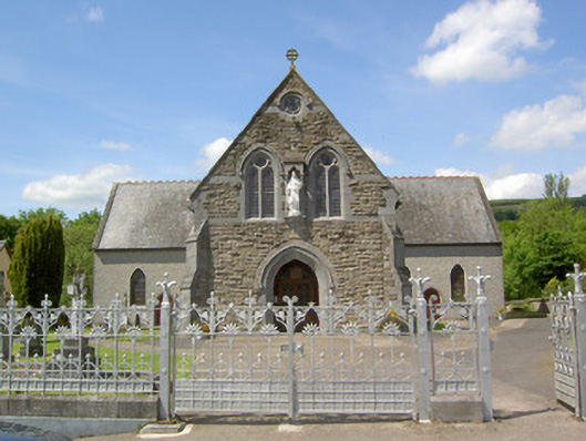 Catholic Church of the Sacred Heartchurch/chapel · 1.6 mi
 Ballynacourty HouseCastle, unclassified · 1.7 mi
 Knockanebrack HillMountain / peak · 2.8 mi
 Glen of AherlowViewpoint · 2.9 mi
 Christ the KingViewpoint · 3.0 mi
 Giant's Rock - Rock of AglaishNamed rock · 3.4 mi