What is recorded here
No visible surface trace of a hachured feature marked on the 1944-5 revision of the OS 6-inch map was visible when inspected in 1982. Cartographic evidence suggested that it was a pit or quarry. It may have been filled in when the surrounding housing estate was built. As it was of post-AD 1700 date it does not come within the remit of the Archaeological Survey of Ireland.
Compiled by: Olive Alcock
Date of upload: 6 August 2014
The monument record does not grant public access. Check the route and ask the landowner before entering private land.
- What survives
- Recorded monument
Places near here
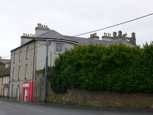 Hansberry Househouse · 209 yd
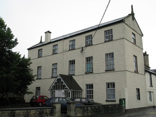 Spire's Househouse · 251 yd
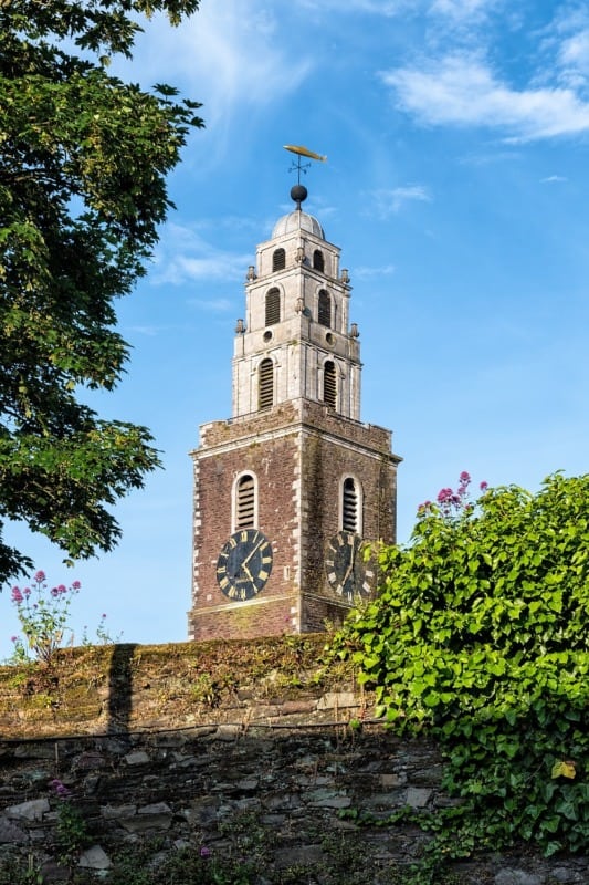 St. Annes WellHoly well · 770 yd
 Site of ChurchChurch · 934 yd
 Walter Macken HouseMemorial · 1002 yd
 GinkgoGinkgo · 1113 yd
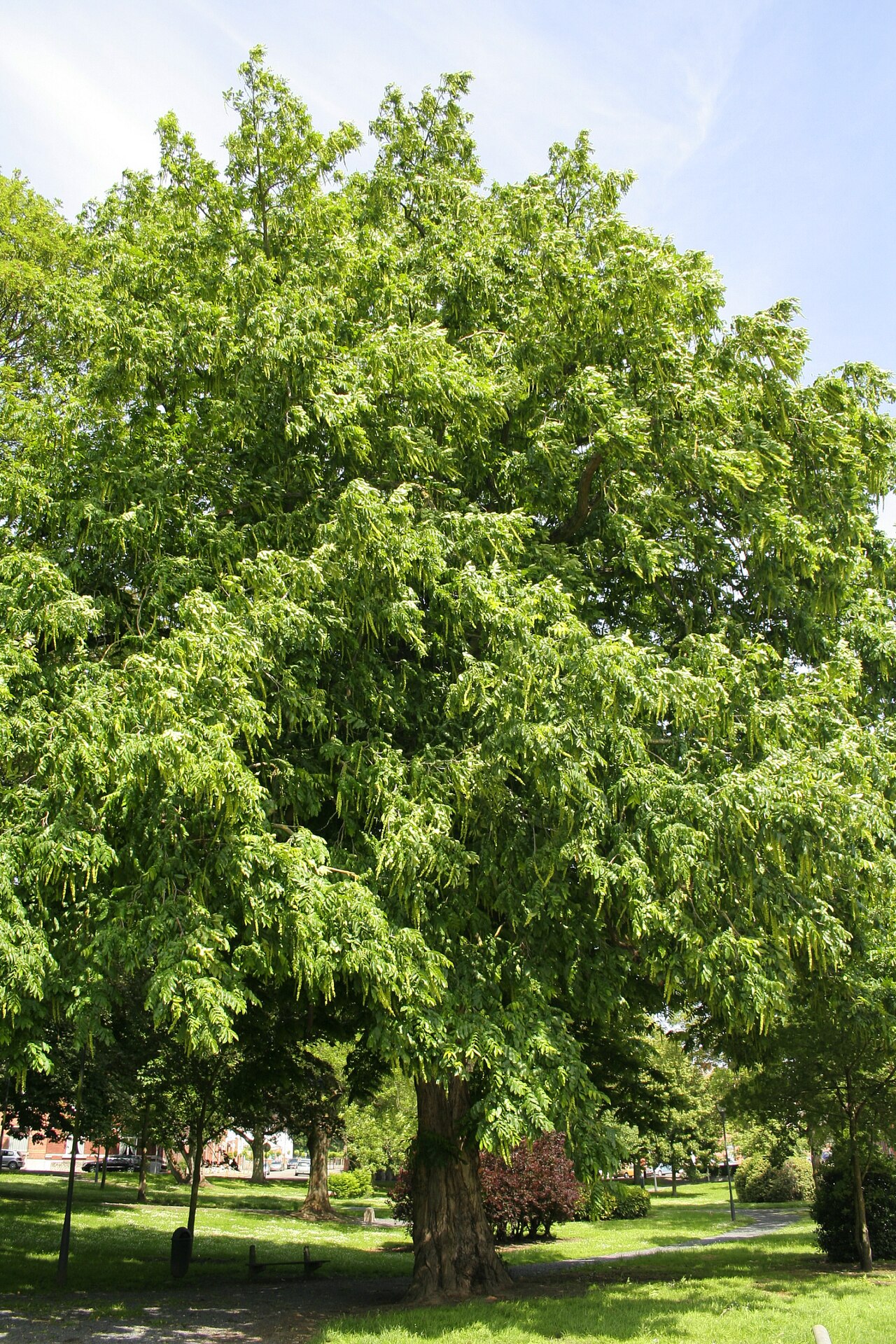 Caucasian WingnutCaucasian Wingnut · 1136 yd
 James Mitchell Geology MuseumMuseum · 1145 yd
 University of Galway GalleryGallery · 1199 yd
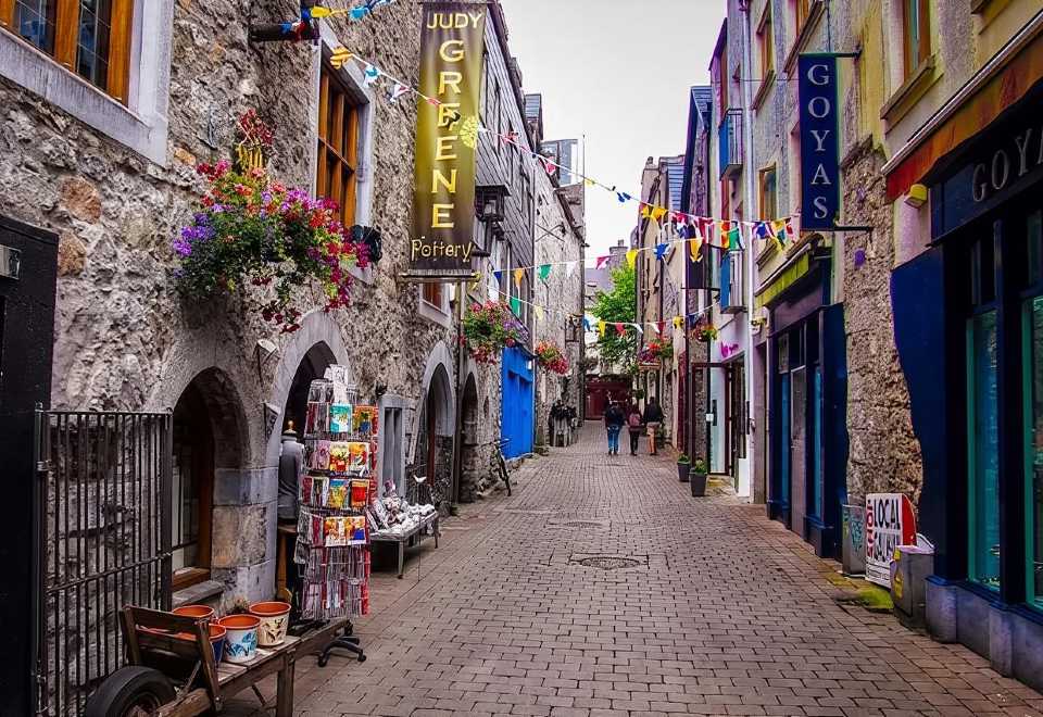 Galway GaolMemorial · 1315 yd
 Blake's CastleCastle · 1451 yd
 CastleCastle, tower house · 1473 yd