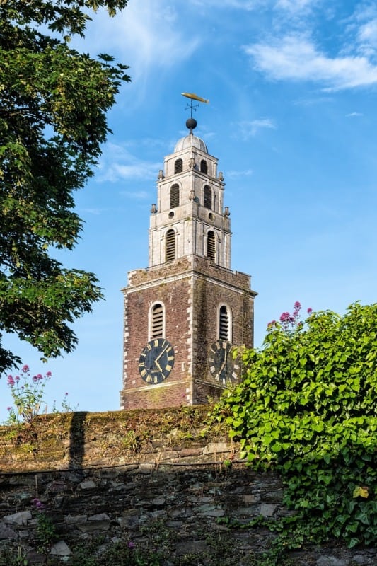
What is recorded here
At time of 1st ed. of OS 6-inch map this well lay just below HWM at Whitestrand, to S of Bóthar na Trá, on W outskirts of Galway city. Since then the area has been reclaimed and it is now within Kilcorkey townland. No visible surface trace survives (info. GBCAS Files). (O'Flanagan 1927a, Vol. 1, 345)
The above description is derived from the published 'Archaeological Inventory of County Galway Vol. I - West Galway'. Compiled by Paul Gosling (Dublin: Stationery Office, 1993).
Date of upload: 05 August 2010
St. Annes Well is associated with St. Anne, the mother of the Virgin Mary, and was historically visited for healing and protection, particularly by women seeking fertility or safe childbirth. The well's location near the coast and its survival through land reclamation reflect its enduring local significance in Galway’s folk religious traditions.
The monument record does not grant public access. Check the route and ask the landowner before entering private land.
- What survives
- Recorded monument
Places near here
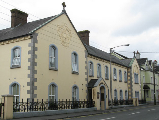 Churchfields Houseschool · 114 yd
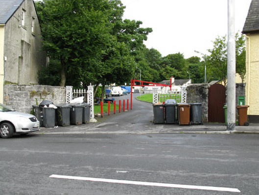 gates/railings/wallsgates/railings/walls · 221 yd
 Walter Macken HouseMemorial · 623 yd
 Famine Ship MemorialMemorial · 657 yd
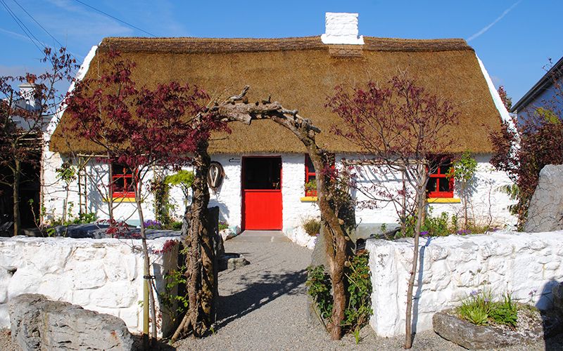 Katie's Claddagh CottageHeritage attraction · 729 yd
 Galway Arts CentreMuseum · 885 yd
 Blake's CastleCastle · 1044 yd
 Fortification in Townparks (galway By., St. Nicholas Par.)Fortification · 1063 yd
 Cross in Townparks (galway By., St. Nicholas Par.)Cross · 1185 yd
 CastleCastle, tower house · 1227 yd
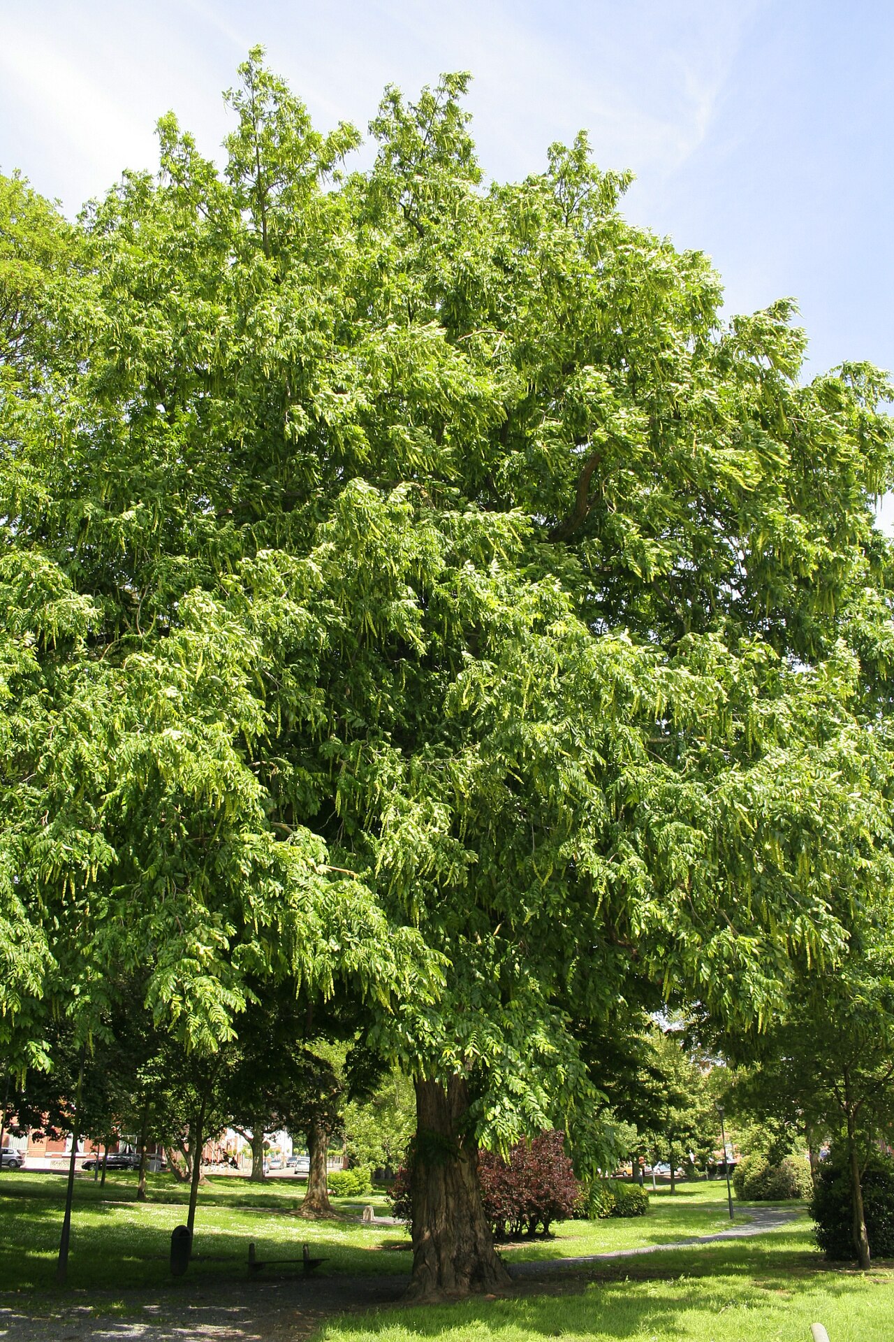 Caucasian WingnutCaucasian Wingnut · 1289 yd
 GinkgoGinkgo · 1301 yd
Other information
Photo: Credit not shown in the picture search · Rights wording not checked; contact us if this picture should be removed