
What is recorded here
No dún ever fell quietly, because it never stopped returning. Richard de Burgo and Odo O'Flaherty circled it like men arguing with a door, while the river waited for one of them to admit that water does not obey pride. Galway began there, not with a plan but with a refusal to leave.
Although the town of Galway owes its origin to the establishment of an Anglo-Norman castle in the early 13th century, the choice of site had already been made by the native Irish who, as early as 1124, are recorded as building a 'dún' or fortification at the mouth of the river Galway (now known as the River Corrib). This dún is variously named in the annals as ‘Bun Gaillme’ (1121), ‘[Caistel] Gaillme (1124), ‘[Caislen] Bona Gaillme’ (1128), ‘[Caislén] bona Gaillme’ (1132), ‘Dún nGaillme (1149, 1161), ‘[Caisdel] Gaillmi’ (1170), ‘[Caislen] Bona Gaillme’ (1177), and ‘[Caislen] Bona Gaillmhe’ (1230) which may be translated as the castle or fortification at the mouth of the river Galway (Prunty and Walsh 2016, 10). This dún was to figure in the fluctuating wars of Connacht and Munster and was demolished in 1132 and in 1149. Although again rebuilt it was burned in 1161. It seems to have been re-erected soon after for when the river suddenly went dry in 1178 the inhabitants of the dún collected many old articles from the river bed (Walsh 1996, 52). It is not mentioned again in the annals until 1230, when Richard de Burgo came to ‘Caisleán Bhun na Gaillimhe’ and fought with the O'Flaherties there. This event is recounted in the annals of Lough Cé and Connacht and both entries specifically refer to the Connacht men as being on the west side and the Anglo-Normans on the east side of the river. After a number of engagements and achieving no satisfaction de Burgo withdrew. Roderic O'Flaherty gives the following account of these events: 'Richard de Burgo . . . besieged Odo O'Flaherty, Lord of West Connaught, in the castle of Galway, on the east side of the river; and he being relieved on the west side by Odo, King of Connaught . . . the besiegers quitted the siege;' (O’Flaherty 1684, 32). This is the only reference which specifically indicates that the dún stood on the east side of the river. None of the other annalistic entries give any indication of the location of the Irish fortification. De Burgo had better success when he returned in 1232, for the annals record that he then erected a castle there (see GA094-100069-). It seems likely this was built on the site of the existing fortification as suggested by the excavator who uncovered what appears to be the part of the 13th-century de Burgo castle at Quay Lane in 2017 (Irish Times, 16 January 2018).
The ITM coordinates provided for this record should only be considered as indicative of the general location of the 12th-century dún: to date, no definitive evidence has been found for this fortification.
Compiled by: Paul Walsh
Date of upload: 6 February 2018
The monument record does not grant public access. Check the route and ask the landowner before entering private land.
- What survives
- Recorded monument
Places near here
 Blake's CastleCastle · 21 yd
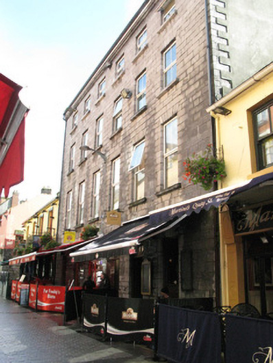 The Hallshouse · 23 yd
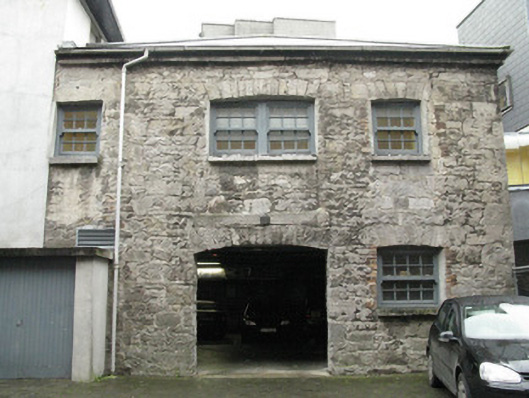 stablesstables · 30 yd
 Hall of the Red EarlMemorial · 56 yd
 Martin TheatreMemorial · 69 yd
 Claddagh Ring MuseumMuseum · 77 yd
 Spanish ArchHeritage attraction · 124 yd
 CrossCross, Market cross · 187 yd
 Cross in Townparks (galway By., St. Nicholas Par.)Cross · 220 yd
 CastleCastle, tower house · 313 yd
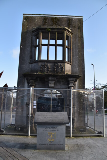 Browne DoorwayVisitor information · 584 yd
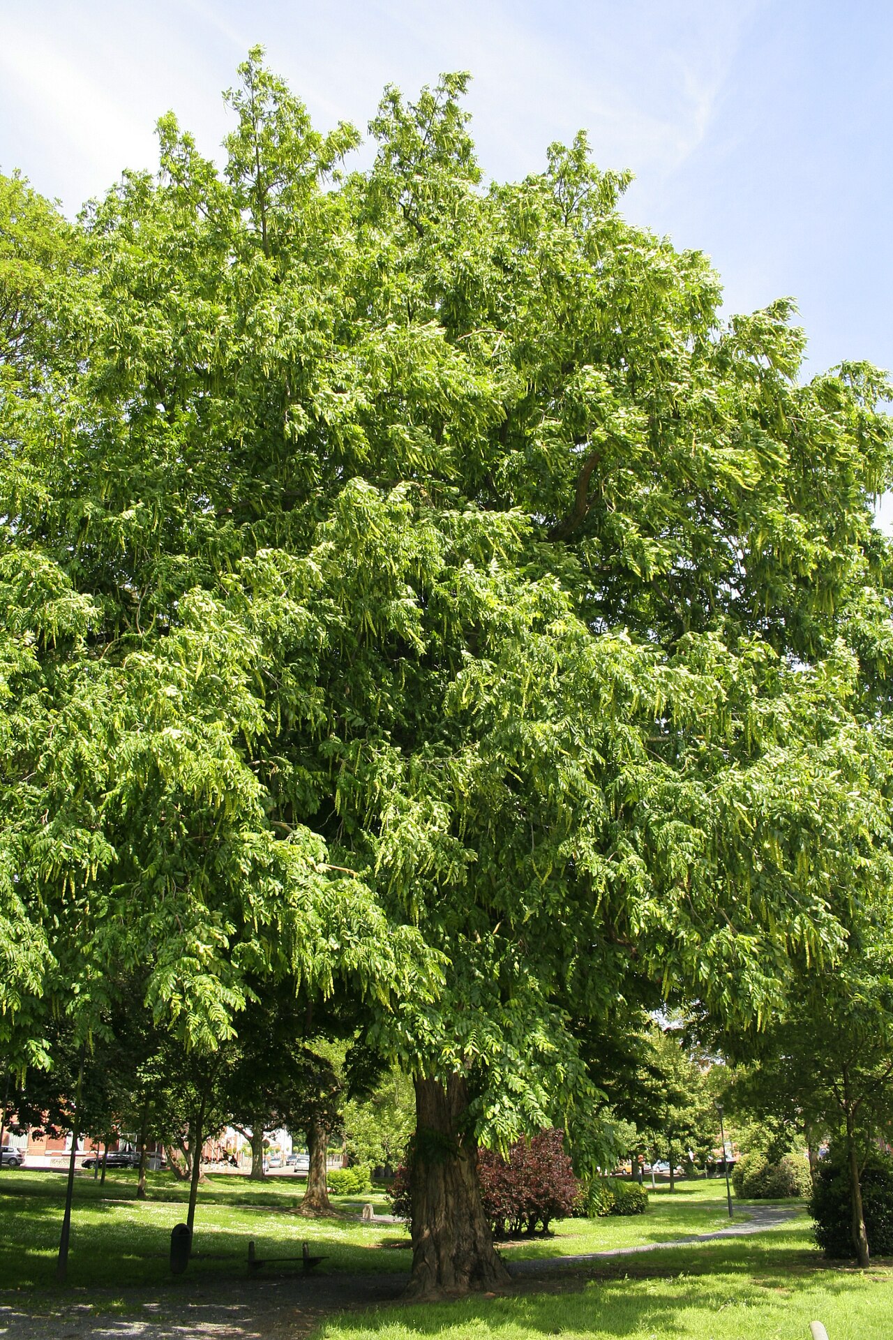 Caucasian WingnutCaucasian Wingnut · 917 yd
Other information
Photo: Credit not shown in the picture search · Rights wording not checked; contact us if this picture should be removed