
What is recorded here
Mnemo knows the difference between record and fiction. She wants to see if you do. Everything written must exist, fit the facts and serve the story.
On low-lying ground in W suburbs of Galway city; surrounding land now developed as housing estates. Dedicated to St James and probably the medieval parish church of Rahoon. Destroyed sometime before 1938. The area immediately around it is occupied by a mainly 19th-C graveyard but two curving sections of graveyard wall to N and S may follow line of an early ecclesiastical enclosure. A holy well (GA094-048----) lies to NW. (O'Flanagan 1927a, Vol. 1, 336, 339)
The above description is derived from the published 'Archaeological Inventory of County Galway Vol. I - West Galway'. Compiled by Paul Gosling (Dublin: Stationery Office, 1993).
Date of upload: 05 August 2010
The monument record does not grant public access. Check the route and ask the landowner before entering private land.
- What survives
- Recorded monument
Places near here
 Enclosure in RahoonEnclosure · 84 yd
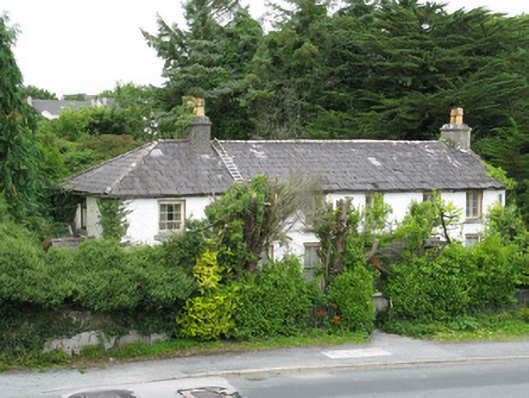 Summerdalehouse · 173 yd
 St. James WellHoly well · 179 yd
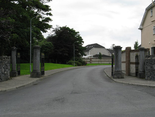 gates/railings/wallsgates/railings/walls · 225 yd
 GinkgoGinkgo · 1.1 mi
 James Mitchell Geology MuseumMuseum · 1.1 mi
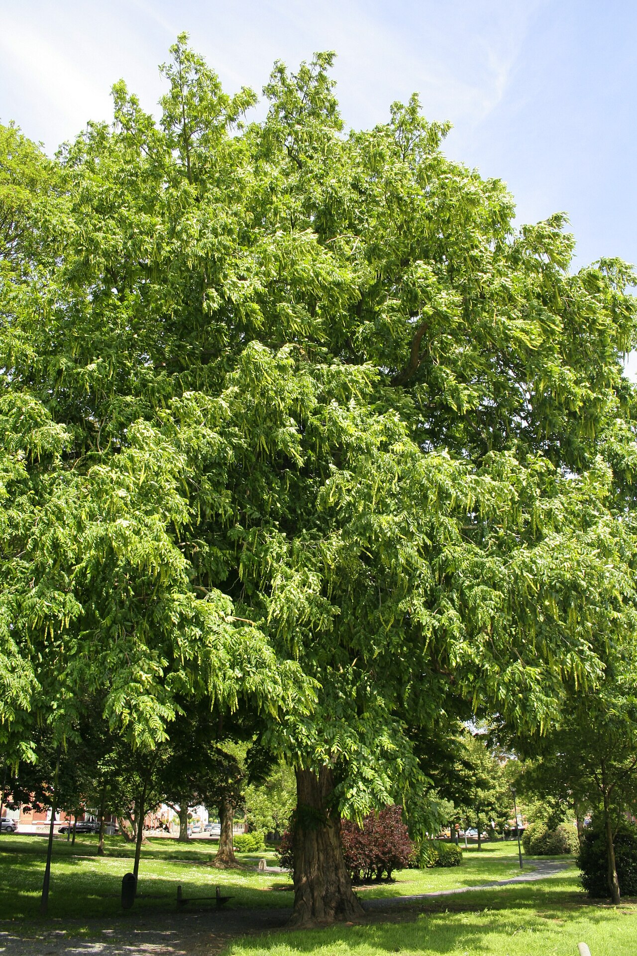 Caucasian WingnutCaucasian Wingnut · 1.1 mi
 Walter Macken HouseMemorial · 1.1 mi
 University of Galway GalleryGallery · 1.1 mi
 Famine Ship MemorialMemorial · 1.2 mi
 Terryland Castle (in Ruins)Castle, unclassified · 1.3 mi
 Terryland CastleCastle · 1.3 mi
Other information
Photo: Credit not shown in the picture search · Rights wording not checked; contact us if this picture should be removed