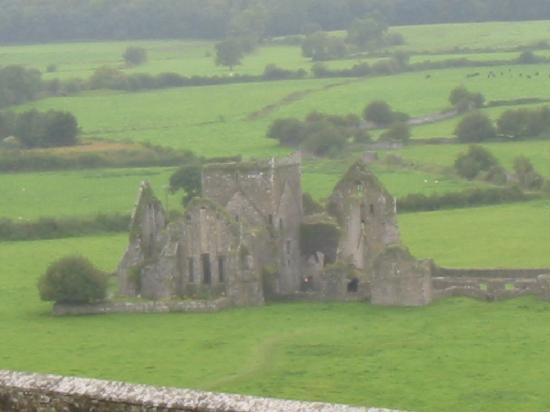
What is recorded here
In level tillage. Shown on the OS 25-inch map as a large raised oval area (est. diams. c. 50m NW-SE; c. 40m NE-SW) defined by a fosse and a substantial outer bank (est. ext. diams. c. 90m NW-SE; c. 70m NE-SW). Described in 1955 as a slightly raised oval platform with a deep wide fosse and a broad external bank, with a possible entrance causeway at the NW. (Danaher 1955, no. 622). No visible surface trace survived in 1972 (SMR file). Visible on a 1989 aerial photo (GB89.O.03) as the cropmarks of two concentric enclosing a sub-circular area. A curvilinear cropmark visible in the S sector of the interior may be a Man-made underground passage (KD035-025001-).
Compiled by: Gearóid Conroy
Date of upload: 13 December 2013
A local fairy fort (ringfort/rath); wider significance not recorded.
The monument record does not grant public access. Check the route and ask the landowner before entering private land.
- What survives
- Recorded monument
Places near here
 Shan RathArchaeological place · 9 yd
 Saint Michael's New Cemeterygraveyard/cemetery · 1310 yd
 Athy District Model National Schoolmodel school · 1403 yd
 Zoltan Zinn-Collis memorialMemorial · 1517 yd
 Athy War MemorialMemorial · 1538 yd
 Enclosure in ArdreeEnclosure · 1604 yd
 Town HallMuseum · 1.1 mi
 Whites [sic] Castle, Police BarrackCastle, tower house · 1.2 mi
 CastleCastle, motte · 1.2 mi
 Scots PineScots Pine · 1.6 mi
 Inch WoodForest · 2.4 mi
 History of Moat of ArdscullVisitor information · 3.1 mi
Other information
Photo: Credit not shown in the picture search · Rights wording not checked; contact us if this picture should be removed