What is recorded here
Situated on the summit of Fort Hill towards the NW end. This is a circular overgrown area (diam. 35m NNW-SSE; 32.3m ENE-WSW) defined by an earthen bank (at SSE: Wth of base 6m; int. H 0.6m, ext. H 3.4m) separated by a fosse (at SSE: Wth of top 8.7m; Wth of base 1.6m; ext. D 2.8m) from an outer bank (at SSE: Wth of base 7m; Wth of top 2.3m; ext. H 2.2m). Outside this is a berm (at SSE: Wth 3m) supporting mature deciduous trees and an outer field bank (at SSE: Wth of base 4m; int. H 0.6m; ext. H 1.3m) and drain. There is a modern entrance and causeway at NNW, but the original entrance through the inner (Wth of base 2.2m) and outer (Wth of base 2m) banks and a causeway (H 1.1m) is at ESE.
In the NW quadrant are the remains of a Man-made underground passage (MO029-026002-), which is visible now as a sunken area (dims 7m WNW-ESE; 1m N-S; D 1m). A lintel is visible at the W end but the passage is inaccessible. (Coffey and Jamison 1897)
The above description is derived from the published 'Archaeological Inventory of County Monaghan' (Dublin: Stationery Office, 1986). In certain instances the entries have been revised and updated in the light of recent research.
Date of revision: 29 August 2017
The monument record does not grant public access. Check the route and ask the landowner before entering private land.
- What survives
- Recorded monument
Places near here
 CaveMan-made underground passage · 11 yd
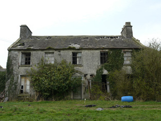 Rocksavagecountry house · 575 yd
 bridgebridge · 1082 yd
 Enclosure in EdenamoEnclosure · 1392 yd
 Mannan Castle (in ruins)Castle, Anglo-Norman masonry castle · 3.6 mi
 Mount AshCastle, motte · 4.2 mi
:no_upscale()/cdn.vox-cdn.com/uploads/chorus_asset/file/25593391/County_Louth_6th.jpg) LouthMountain / peak · 4.9 mi
LouthMountain / peak · 4.9 mi TobernagalliaghSpring · 4.9 mi
 KnockreaghMountain / peak · 5.0 mi
 Horse-chestnutHorse-chestnut · 5.1 mi
 Ballsmill Amenity LandPicnic place · 6.4 mi
 Irish Hunger StrikersMemorial · 7.4 mi