What is recorded here
The fairy fort or earthen ringfort in Seevness is in County Sligo, Ireland. It occupies a low rise about 40 metres north of the Owenbeg River. A 36-metre circular area holds a grass interior, while an earthen bank and scarp mark its northern and eastern edges. The remaining boundary is levelled but still shows through slight rises and changing vegetation.
In undulating pasture, on a low rise c. 40m N of the Owenbeg River. A slightly raised circular area (diam. c. 36m) defined by an earthen bank (Wth 3.4m; int. H 0.65m; ext. H 0.85m) N-NE and by a scarp (H 1.2m) NE-SE. The enclosing element is levelled SE-N and evident only as a slight rise or differential vegetation pattern. A field boundary skirts the scarp. A small stone-built shed abuts the scarp at SE. The interior is grass-covered.
The above description is derived from the published 'Archaeological Inventory of County Sligo' compiled by Ursula Egan, Elizabeth Byrne, Mary Sleeman with Sheila Ronan and Connie Murphy (Dublin Stationery Office, 2005).
Date of upload: 18 January 2008
The monument record does not grant public access. Check the route and ask the landowner before entering private land.
- What survives
- Recorded monument
Places near here
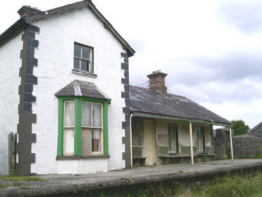 Leyny Railway Stationrailway station · 548 yd
 IndicatedCastle, motte · 558 yd
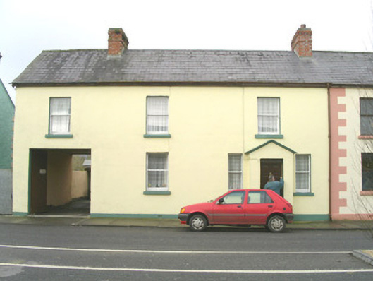 court housecourt house · 611 yd
 Enclosure in RathoseyEnclosure · 1159 yd
 ÌndicatedEnclosure · 1403 yd
 Tullaghan HillMountain / peak · 1.4 mi
 DoomoreMountain / peak · 1.6 mi
 Moymlough Castle (in Ruins)Castle, tower house · 1.8 mi
 RinnatalleenHeadland · 3.4 mi
 Derinch PointHeadland · 3.6 mi
 European ashEuropean ash · 3.7 mi
 ElderElder · 4.3 mi