What is recorded here
In a modern farmyard. Although not named on any edition of the OS 6-inch maps, the OS 1st ed. (1839) depicts an unroofed rectangular structure (est. c. 16m ENE-WSW; c. 8m NNW-SSE) at the location identified by the Athy Cemeteries Committee as being that of Russellstown church and graveyard (KD035-100001-) (athycemeteriescommittee@hotmail.com). While no visible surface traces survive, the site is acknowledged locally as that of a church and graveyard. A font (KD035-100002-) and two architectural fragments (KD035-100003-), presumably from the church, survive there. The church was reputedly levelled in the mid 19th-century (pers. comm. M. Donovan).
Compiled by: Gearóid Conroy
Date of upload: 19 December 2012
The monument record does not grant public access. Check the route and ask the landowner before entering private land.
- What survives
- Recorded monument
Places near here
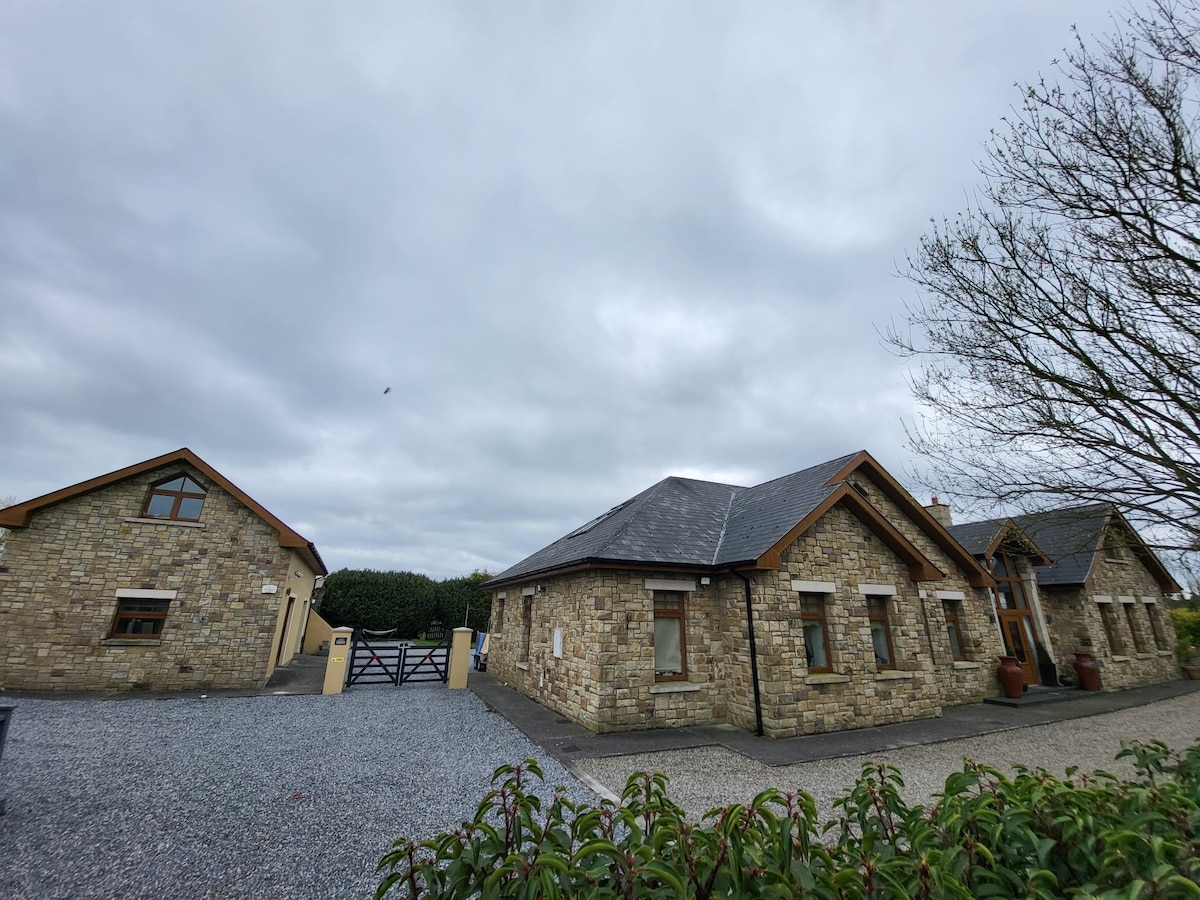 Font in Russellstown (athy Rural Ed)Font · 1 yd
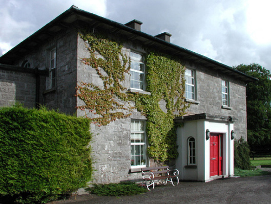 Russellstown Housefarm house · 101 yd
 Scots PineScots Pine · 610 yd
 Enclosure in ForestEnclosure · 838 yd
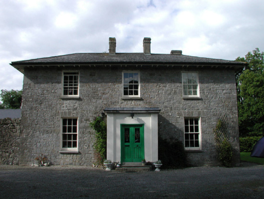 Ardmore Housefarm house · 1128 yd
 Inch CastleCastle, tower house · 1.2 mi
 Inch WoodForest · 1.3 mi
 Gorden Bennet Race memorialMemorial · 1.3 mi
 History of Moat of ArdscullVisitor information · 1.3 mi
 Ardscull MoatCastle, motte · 1.4 mi
 Athy War MemorialMemorial · 2.1 mi
 Town HallMuseum · 2.4 mi