What is recorded here
Indicated was a fairy fort buried beneath trees on a Cork slope, visible only on an 1842 map. It vanished when people levelled the earth and planted green above the forgotten ring. Forgetting is not the same as losing; the land still remembers the shape even when human hands cover it.
In pasture, on N-facing slope, Liss Ard House and ringfort (CO141-132---) nearby to SW. Marked as circular enclosure on O.S. map (1842). Levelled; planted with trees; no visible surface trace.
The above description is derived from the published 'Archaeological Inventory of County Cork. Volume 1: West Cork' (Dublin: Stationery Office, 1992). In certain instances the entries have been revised and updated in the light of recent research.
Date of upload/revision: 14 January 2009
The monument record does not grant public access. Check the route and ask the landowner before entering private land.
- What survives
- Recorded monument
Places near here
 Rosebankcountry house · 298 yd
 Russagh Corn Mill (Disused )Mill, corn · 416 yd
 Irish Sky GardenHeritage attraction · 732 yd
 Site of CastleCastle, unclassified · 1261 yd
 Man-made underground passage (Site of)Man-made underground passage · 1452 yd
 Wild Atlantic WayVisitor information · 1.1 mi
 Burial GdBurial ground · 1.2 mi
 Tober an IarainnSpring · 1.4 mi
 Bishop MahonyMemorial · 1.4 mi
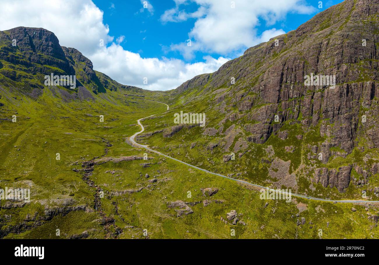 Bealach (pass)Viewpoint · 1.5 mi
 West Cork Quad AdventuresHeritage attraction · 1.5 mi
 Giant's GraveArchaeological place · 1.5 mi