What is recorded here
Indicated is a fairy fort or earthen ringfort in Runnabackan, County Roscommon, Ireland. It occupies a subcircular grass-covered area on the north-facing slope of a broad west-east spur. An overgrown earthen bank and flat-bottomed fosse define the site, while an entrance and causeway appear at the east-northeast. Archaeological testing twenty metres to the west failed to produce related material.
On the N-facing slope of a broad W-E spur. Subcircular grass-covered area (dims 36m E-W; 32m N-S) defined by an overgrown earthen bank (Wth 3.8-5.5m; int. H 0.4-0.7m; ext. H 1.45-1.9m) and a flat-bottomed fosse (Wth of top 8-8.5m; Wth of base 3.6-4.8m; D 0.65-1m). There is an entrance (Wth 2.4m) and causeway (Wth 4m; H 0.2m) at ENE (max. ext. diam. 48.7m N-S). Archaeological testing (09E0525) c. 20m to the W failed to produce any related material (Morahan 2012). Rath (RO034-075----) is c. 100m to the S and rath (RO034-073----) is c. 150m to the E.
Compiled by: Michael Moore
Date of upload: 24 August 2010
The monument record does not grant public access. Check the route and ask the landowner before entering private land.
- What survives
- Recorded monument
Places near here
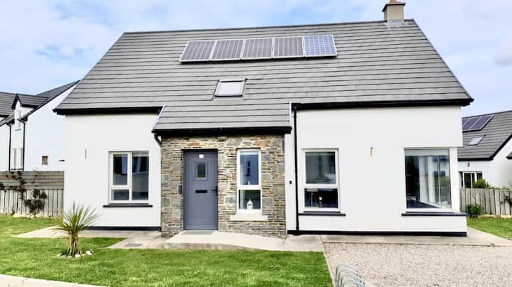 Enclosure in Creeve (ballymoe By.)Enclosure · 1245 yd
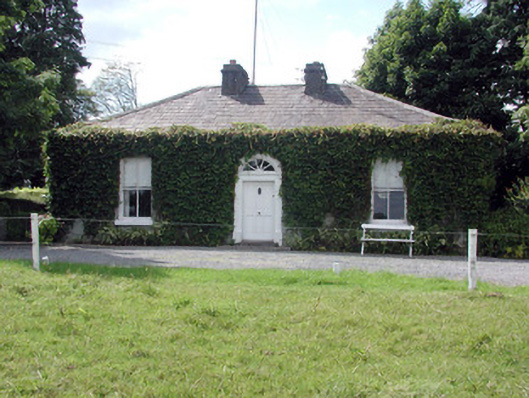 Ballydooley Lodgegate lodge · 1359 yd
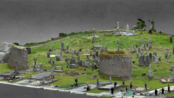 Enclosure in CarroweighterEnclosure · 1470 yd
 HawthornHawthorn · 1691 yd
 Church in Emlagh MoreChurch · 1.4 mi
 European ashEuropean ash · 4.3 mi
_-_geograph.org.uk_-_1952978.jpg?width=1280) Bawn in Glinsk (ballymoe By.)Bawn · 5.0 mi
Bawn in Glinsk (ballymoe By.)Bawn · 5.0 mi CastleCastle, Anglo-Norman masonry castle · 5.0 mi
 Site of Killomaine Grave YardArchaeological place · 5.5 mi
 Roscommon CastleCastle · 5.9 mi
 Sally IslandIslet · 7.4 mi
 Mount MaryMountain / peak · 8.0 mi