
Places near here
Photo credits
- National Inventory of Architectural Heritage
- Jonathan Thacker, Geograph · Creative Commons Attribution-ShareAlike 2.0
- Gordon Hatton, Wikimedia Commons · CC BY-SA 2.0
- El Gringo ( talk ) ( Uploads ), Wikimedia Commons · CC BY-SA 3.0
- Echo Live; individual photographer not stated on accessible page (article by Barry O’Mahony), www.echolive.ie
- Kmcnamee, Wikimedia Commons · CC BY-SA 4.0
- Adrian King, Geograph · CC BY-SA 2.0
 school1.7 mi
Explorer Tom School in Toom is now disused but still standing proudly next to the church. Built in 1840, it had separate entrances…
 St Finbarr's Roman Catholic ChurchChurch/chapel · 1.7 mi
Explorer Tom St Finbarr's Church in Toom would order extra gravy on its chips because it has a very ornate interior that demands…
 Kilmichael Ambush SiteMonument · 4.0 mi
Explorer Tom Kilmichael Ambush Site in County Cork has a rivalry with every other ambush site because they all think theirs was the…
 Kilmichael AmbushAmbush · 4.0 mi
Explorer Tom The Kilmichael Ambush has a secret talent for making you feel like you’re walking through a very aggressive history…
Kilmichael MonumentMonument · 4.1 miExplorer Tom Kilmichael Monument in Haremount marks where the IRA ambushed the Black and Tans in 1920. The sword motifs are sharp…
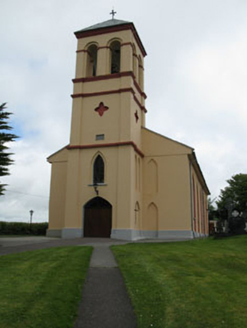 Séipéal Naomh Lachtáin [Saint Lachtáin's Catholic Church]Church/chapel · 6.0 mi
Explorer Tom Séipéal Naomh Lachtáin is the over-dressed uncle at the wedding who won’t stop talking about his marble reredos. It’s…
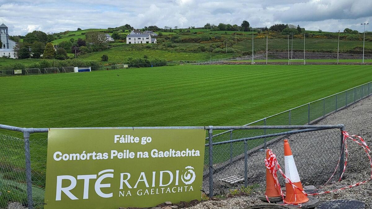 Páirc Uí Chuana, Cill na MartraGAA ground · 6.1 mi
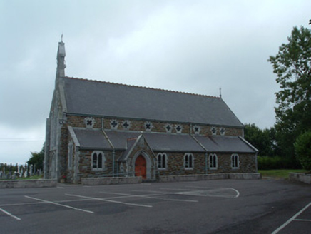 Church of the Immaculate ConceptionChurch/chapel · 20 mi
Explorer Tom Church of the Immaculate Conception in Mullaghroe South uses polychromy to look impressive, but it's really just trying…
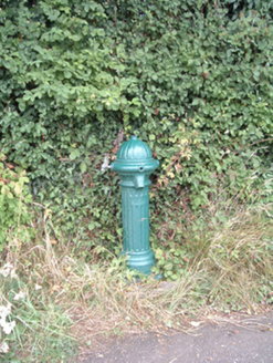 water pump20 mi
Explorer Tom Water pump in Mullaghroe North has been standing there since the 1880s, looking very Victorian about it. It’s a…
 Glenflesk GAA pitchGAA ground · 20 mi
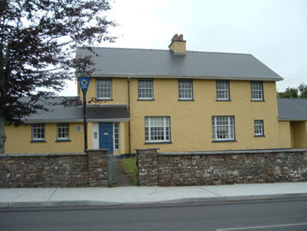 Knocknagree Garda StationGarda station/constabulary barracks · 22 mi
Explorer Tom 17. Knocknagree Garda Station looks like a fancy country house because it was built in the Domestic Revival style…
 Knocknagree Roman Catholic ChurchChurch/chapel · 22 mi
Explorer Tom Knocknagree Roman Catholic Church is having a quiet rivalry with every other church in town. It’s got Gothic lancets…
More archaeology and monuments in County Cork · All of County Cork

What do you know about this place?Tap to add a comment or ask a question