What is recorded here
Indicated is a crannog in County Cavan, Ireland. It is a wetland dwelling or island marker, the kind of place where people lived above water because the land around refused easy entry. The name gives no further shape, but the form does: a small held ground in shallow depth, built or chosen to keep rain, rot and invasion at a distance.
The Archaeological Survey of Ireland (ASI) is in the process of providing information on all monuments on The Historic Environment Viewer (HEV). Currently the information for this record has not been uploaded. To access available information for research purposes please make an appointment in advance with the Archive Unit (open Fridays 10.00 am – 5.00 pm), Department of Housing, Local Government and Heritage, The Custom House, Dublin 1 D01W6XO or email NMarchive@housing.gov.ie.
The monument record does not grant public access. Check the route and ask the landowner before entering private land.
- What survives
- Recorded monument
Places near here
 Putiaghan Lower ForestForest · 738 yd
 Enclosure in BunEnclosure · 1014 yd
 Belturbet Railway Stationtrain shed · 1559 yd
 Belturbet Heritage Railway Station MuseumMuseum · 1573 yd
 Belturbet Railway Station Visitor CentreHeritage attraction · 1574 yd
 Welcome to Belturbet StationVisitor information · 1581 yd
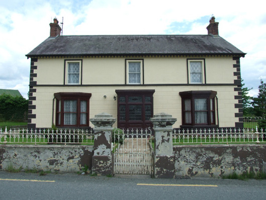 Sugarloafhouse · 1606 yd
 Friar's FortArchaeological place · 1734 yd
 Bomb Victims MemorialMemorial · 1.1 mi
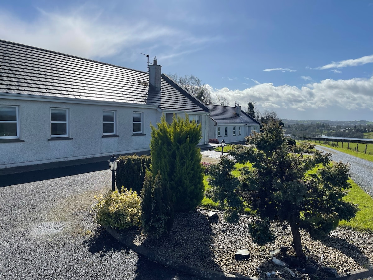 Cornadarragh ForestForest · 1.1 mi
 Turbet Island Castle Motte and BaileyArchaeological place · 1.2 mi
 Sit of CastleCastle, motte and bailey · 1.2 mi