What is recorded here
Indicated is a fairy fort in County Mayo, Ireland. It is a slightly raised circular area defined by an earthen bank and enclosed by a fosse. Later field boundaries cut into its western arc, and a narrow depression may mark a later ditch within the original line. The interior remains level and grassy, while blackthorn and hawthorn hold the bank against forgetting.
In pasture, in an area of mixed grassland and bog; ground falls away gently to S, giving good views.
Slightly raised circular area (30.5m N−S; 33.4m E−W) defined by an earthen bank (4.2m at S) and enclosed by a fosse. There is a remnant of an external bank (Wth 2m; int. H 0.6m; ext. H 0.5m) on the S arc; it has been levelled elsewhere. The rath has been modified as a result of incorporation into a system of later field boundaries, which abut it at NW and SW, and the bank on the W arc serves as a field fence.
The inner bank is generally low on its internal face; the external face is cut quite vertical, especially towards the base. The inner face of the external bank is also quite vertical-faced. The fosse is evident as a shallow depression on the E half of the circuit; on the W arc there is a narrow, shallow depression (W 1.4m) which may be a later field ditch cut into the original line of the fosse. The rath interior is level. There is a gap (Wth 2m) in the inner bank at SE which may indicate an original entrance.
The interior is grassy; the bank at W, where it serves as a field boundary, is thickly covered in blackthorn; elsewhere the bank is dotted with hawthorn bushes. There are several breaks or areas of erosion by farm stock.
Compiled by: Jane O'Shaughnessy
Date of upload: 17 June 2020
The monument record does not grant public access. Check the route and ask the landowner before entering private land.
- What survives
- Recorded monument
Places near here
 Old Cave Burial GroundArchaeological place · 898 yd
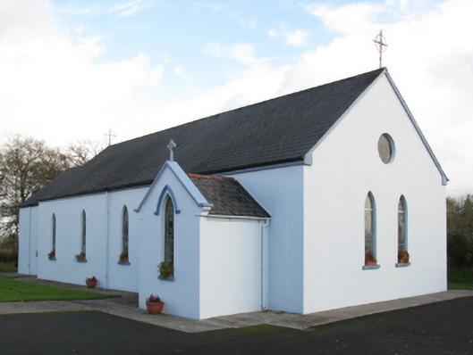 Saint Joseph's Catholic Churchchurch/chapel · 1393 yd
 IndicatedFairy fort / earthen ringfort · 1.0 mi
 Fulacht fia in BallincurryFulacht fia · 1.8 mi
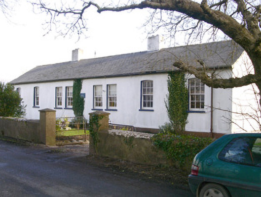 The Old School Houseschool · 2.5 mi
 CastleCastle, unclassified · 3.9 mi
 Ballyara Castle (in Ruins)Castle, unclassified · 4.9 mi
 Bockagh HillMountain / peak · 5.2 mi
 Tymon's HillMountain / peak · 5.2 mi
 Crow IslandIslet · 10 mi
 Caves of KeshCave · 11 mi
 Castle PointHeadland · 11 mi