What is recorded here
In pasture, on level ground at the top of a S-facing slope. The location provides excellent views SE−SW over expanses of improved and damp pastureland.
Roughly D-shaped area (17.7m NW−SE; 17m NE−SW) defined by a broad, low earth and stone bank (c. 3m; int. H 3m; ext. H 0.45m at NE; Wth 5.7m; int. H 0.55m; ext. H 1.25m at W), curving S−NNE. The bank is better preserved at S−NW, with a broad external slump compensating for a natural fall of ground. There is a break at NW.
On the straight E side it is bordered by a field fence/property boundary (ext. H 1.5m), which appears to have partly truncated the original E-SE side of the enclosure.
The interior is very slightly domed in profile, sloping down from a raised centre (diam. c. 6-7m) towards the perimeter, most noticeably at E and S. It was used as a children’s burial ground (MA119-028002-).
This site was difficult to examine due to thick overgrowth. The enclosing bank is ringed with hawthorn, blackthorn and brambles, as is the field fence, which is also in parts piled with dead branches/field clearance debris. Ash and hawthorn trees with long grass and nettles obscure much of the interior.
Compiled by: Jane O’Shaughnessy
Date of upload: 23 June 2023
The monument record does not grant public access. Check the route and ask the landowner before entering private land.
- What survives
- Recorded monument
Places near here
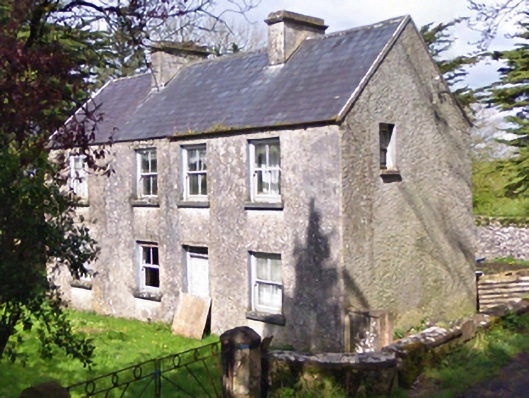 farm housefarm house · 790 yd
 Castle in ruinsCastle, unclassified · 801 yd
 IndicatedEnclosure · 906 yd
 Enclosure in Lecarrow (kilmaine By., Kilcommon Par.)Enclosure · 995 yd
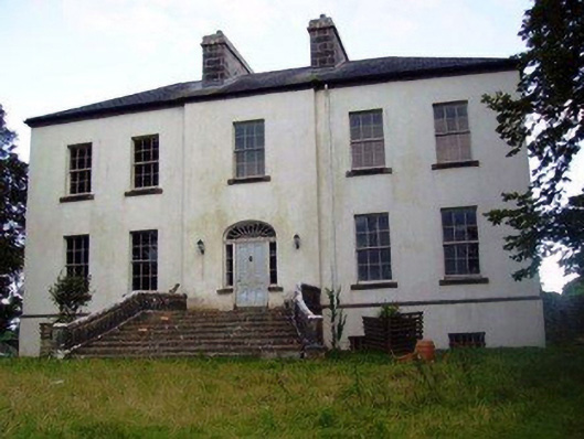 Annefield Housecountry house · 1380 yd
 Castle (in ruins)Castle, unclassified · 1.4 mi
 European YewEuropean Yew · 3.1 mi
 Geoffrey's WoodForest · 5.0 mi
 Mass RockNamed rock · 7.9 mi
 Ross Errilly FriaryHeritage attraction · 10 mi
 Enclosure in DavrosEnclosure · 1676 yd
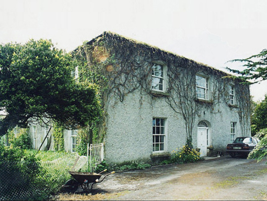 Greaghansfarm house · 1.1 mi