
What is recorded here
On a gentle rise in pastureland. Poorly preserved subcircular rath (44.5m N-S; 40m E-W) defined
by a low bank (base Wth 4.5m; int. H 0.3m; ext. H 0.6m) that is clearly visible from SE through W to NNE. A field wall cuts through the monument at NNE and SE and to the E of it some traces of the bank are evident. Stone-facing is visible on both faces of the bank at NW and on the inner face at N. No trace of the fosse survives. There is a Man-made underground passage (GA113-188001-) within the N half of the interior. (McCaffrey 1952, 278, no. 15a)
Compiled by: Galway Archaeological Survey, UCG
Date of upload: 11 April 2018
The monument record does not grant public access. Check the route and ask the landowner before entering private land.
- What survives
- Recorded monument
Places near here
 Enclosure in Drumharsna SouthEnclosure · 1213 yd
 Enclosure in Drumharsna NorthEnclosure · 1299 yd
 Drumharsna CastleHeritage attraction · 1316 yd
 Drumharsna Castle (in ruins)Castle, tower house · 1318 yd
 Ardrahan Churchchurch/chapel · 1.4 mi
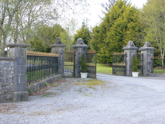 demesne walls/gates/railingsdemesne walls/gates/railings · 1.5 mi
 Castle (in ruins)Castle, Anglo-Norman masonry castle · 1.5 mi
 HawthornHawthorn · 3.1 mi
 European ashEuropean ash · 3.2 mi
 Drumacoo Monastic SiteHeritage attraction · 4.0 mi
 Mulroney's IslandIslet · 4.3 mi
 Cusheen IslandIslet · 4.7 mi
Other information
Photo: Credit not shown in the picture search · Rights wording not checked; contact us if this picture should be removed