
What is recorded here
In grassland sloping to the S. This possible enclosure (c. 90m ENE-WSW) is visible on Google Earth imagery which was taken in 2011 (Google 2018). It is cut from ENE to WSW by the road from Ardrahan to Kinvarra. To the N of the road it is indicated from roughly W through N to ENE by a band of darker vegetation growth in the field. It is not obvious in the field to the S of the road. The band of vegetation may indicate the line of a fosse. It is not visible at ground level. The image was brought to our attention by Mr. Z. Silke. A possible cashel (GA113-108----) lay c. 110m to the SE.
Compiled by: Olive Alcock
Date of upload: 24 May 2019
The monument record does not grant public access. Check the route and ask the landowner before entering private land.
- What survives
- Recorded monument
Places near here
 IndicatedFairy fort / earthen ringfort · 1299 yd
 Enclosure in Drumharsna SouthEnclosure · 1355 yd
 Drumharsna CastleHeritage attraction · 1545 yd
 Drumharsna Castle (in ruins)Castle, tower house · 1546 yd
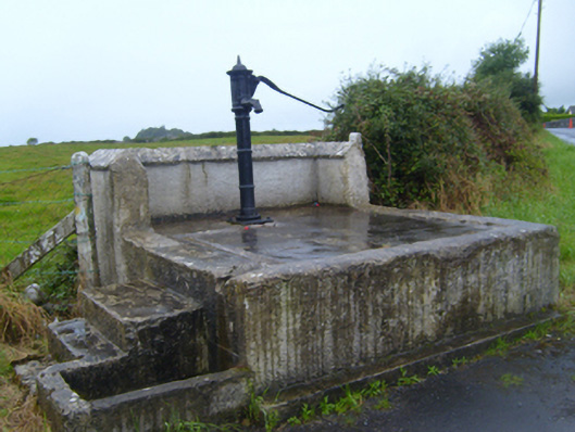 water pumpwater pump · 1.7 mi
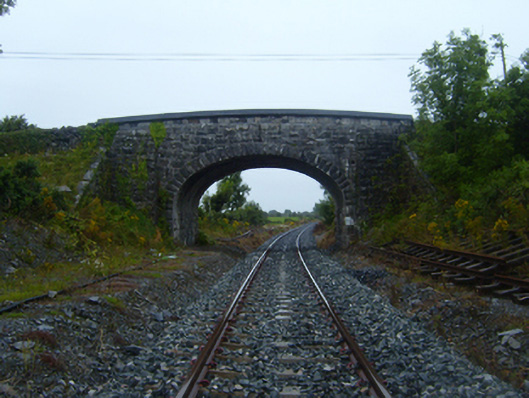 bridgebridge · 1.9 mi
 Ballymaquiff CastleCastle · 1.9 mi
 HawthornHawthorn · 3.4 mi
 European ashEuropean ash · 3.4 mi
 Mulroney's IslandIslet · 3.6 mi
 Drumacoo Monastic SiteHeritage attraction · 3.7 mi
 Cusheen IslandIslet · 4.0 mi
Other information
Photo: Credit not shown in the picture search · Rights wording not checked; contact us if this picture should be removed