What is recorded here
In pasture, near shoreline looking S to Bear Island. Circular area (38m N-S; 37m E-W) defined by stone wall S->NE; road to E; driveway to S. Sharp drop (H 1.6m) from interior to road and driveway has been recently stone faced. Break in stone wall (Wth 3m) to NE. Burial ground (CO115-03101-) and standing stone (CO115-03102-) in S half of interior.
The above description is derived from the published 'Archaeological Inventory of County Cork. Volume 1: West Cork' (Dublin: Stationery Office, 1992). In certain instances the entries have been revised and updated in the light of recent research.
Date of upload/revision: 14 January 2009
The monument record does not grant public access. Check the route and ask the landowner before entering private land.
- What survives
- Recorded monument
Places near here
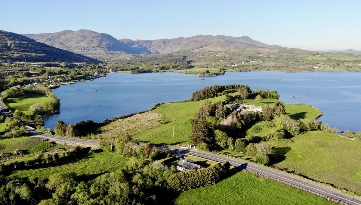 Burial Gd (Disused)Burial ground · 1 yd
 Fureys PierArchaeological place · 916 yd
 Minane IslandIslet · 1257 yd
 IndicatedChurch · 1400 yd
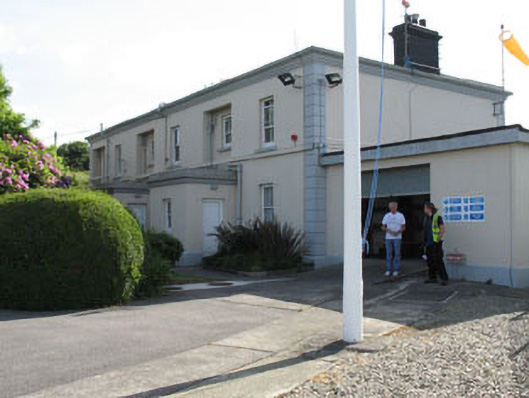 The Lighthouse Dwellingslighthouse keeper's house · 1719 yd
 Bracklagh IslandIslet · 1.1 mi
 TrawnablahaBeach / strand · 1.5 mi
 Berehaven Battalion MemorialMemorial · 1.6 mi
 Burial ground in DerrycreeveenBurial ground · 1.7 mi
 Sarah Walker GalleryGallery · 1.7 mi
 Holly HillMountain / peak · 1.9 mi
 KnockanalligMountain / peak · 2.0 mi