What is recorded here
Situated in deep water in Carrafin Lough, c. 45m from the shoreline. Excavated by Davies in 1938. He found (Davies 1942, 28-9) that the core of the island was a natural gravel ridge running N-S which was considerably extended E and W with logs and stones. On the exposed W side of the island Davies found a well-preserved stone kerb and at E three visible layers of radial logs with cross-logs between, and on top of this structure a criss-cross log-floor with some stones. Finds from the crannóg included burnt animal bone, teeth, hazelnuts, decorated sherds of pottery, querns, a stone axe, a single-bladed iron axe with socket-hole, a hollowed pebble, a 'fairly recent' brass spur and two ring-headed pins. Local tradition maintains that this was the first stronghold of Owen Roe O'Neill, which he later abandoned for Clogh Oughter Castle (CV020-060----).
The above description is derived from the published 'Archaeological Inventory of County Cavan' (Dublin: Stationery Office, 1995). In certain instances the entries have been revised and updated in the light of recent research.
Date of upload/revision: 22 December 2008
The monument record does not grant public access. Check the route and ask the landowner before entering private land.
- What survives
- Recorded monument
Places near here
 Carratraw Bridgebridge · 869 yd
 Cornabrassan FortEnclosure · 1265 yd
 InishmuckIsland · 1268 yd
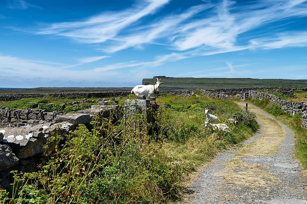 Granshagh or Riverview Fort (Site of)Enclosure · 1288 yd
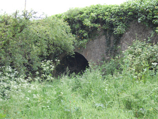 Blackstick Bridgebridge · 1343 yd
 AshgroveMountain / peak · 1.1 mi
 Duck IslandIsland · 1.3 mi
 DrumcalpinMountain / peak · 1.4 mi
 Annagh Lough BeachBeach / strand · 1.8 mi
 Giants GraveArchaeological place · 1.9 mi
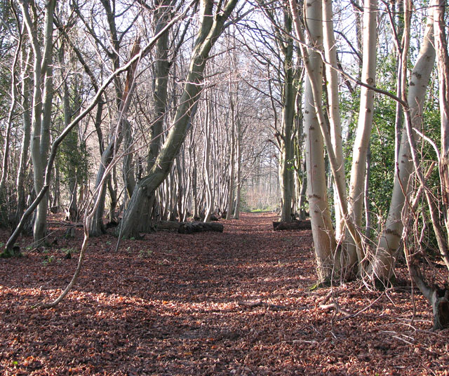 Kilnaglare Lower WoodForest · 2.0 mi
 Clogh Oughter CastleCastle, Anglo-Norman masonry castle · 2.1 mi