What is recorded here
Situated towards the S end of the low-lying marshy area known as Lough Sallagh – Sallach, dirty - a marshy lake now reduced to a small triangle of open water (dims c. 200m N-S; c. 140m E-W) on the N-S Cloone or Lurga River. This is only the S end of a larger oval lake (dims c. 600m NNE-SSW; c. 270m) as represented on the 1835 edition of the OS 6-inch map. An oval island (dims c. 30m E-W; c. 15m N-S) is represented on the 1835 and 1907 editions of the map. No archaeological feature was visible at the location in 1991 (SMR file) in the marsh, but this area had largely been reclaimed by 2012 (OSAP).
The above description is derived from 'The Archaeological Inventory of County Leitrim' compiled by Michael J. Moore (Dublin: Stationery Office, 2003). In certain instances the entries have been revised and updated in the light of recent research.
Compiled by: Michael Moore
Date of upload: 23 September 2008
Amended: 7 January 2020
The monument record does not grant public access. Check the route and ask the landowner before entering private land.
- What survives
- Recorded monument
Places near here
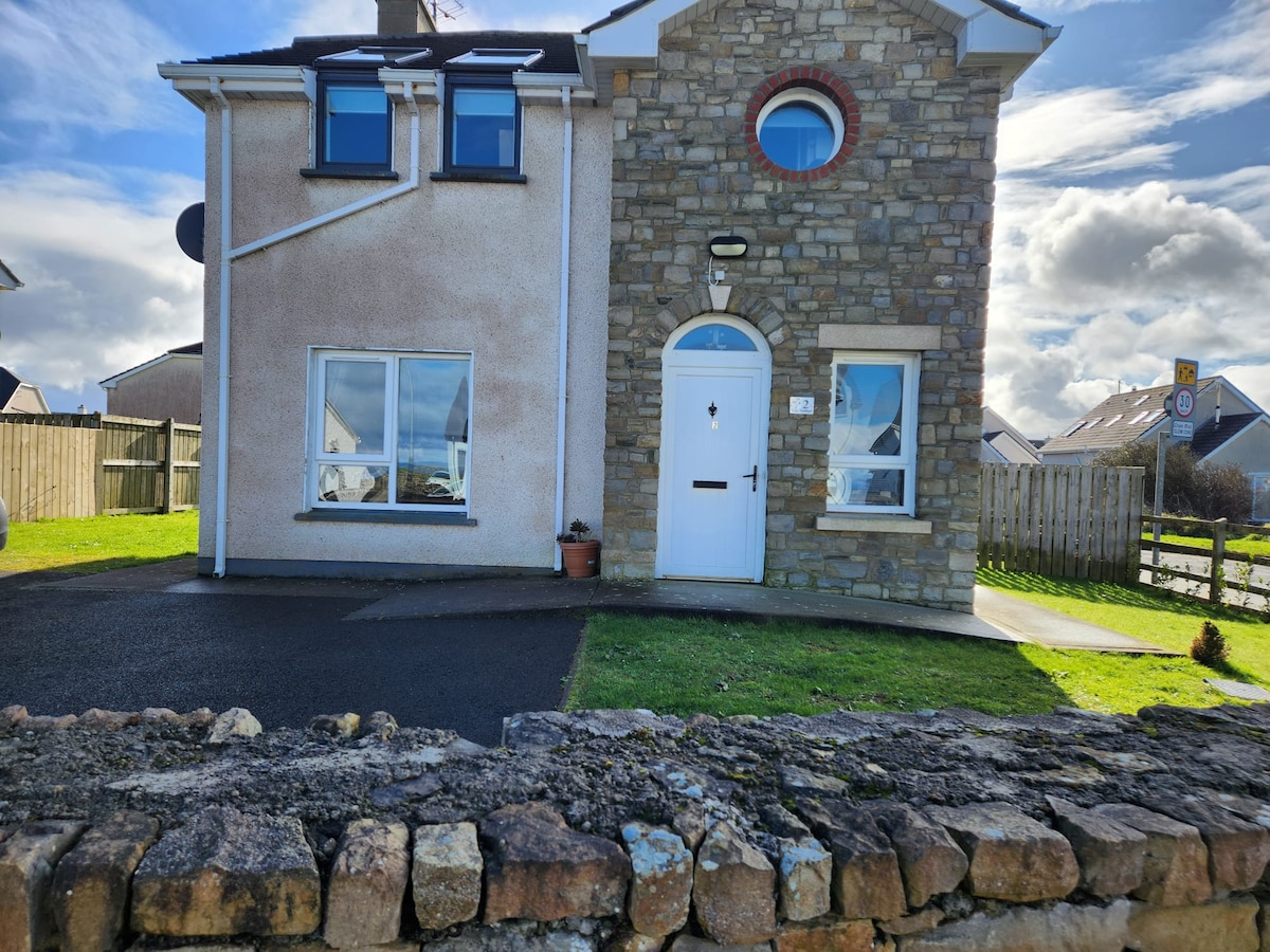 IndicatedFairy fort / earthen ringfort · 548 yd
 Little IslandIslet · 559 yd
 Duck IslandIslet · 579 yd
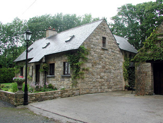 Lough Rynn Houseworker's house · 805 yd
 Giant's GraveArchaeological place · 1033 yd
 Lawson's CypressLawson's Cypress · 1270 yd
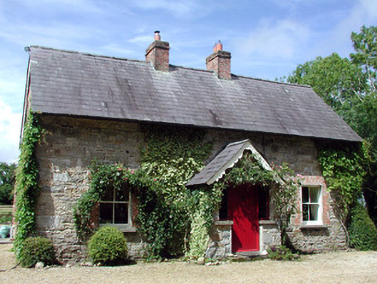 Errew Cottageworker's house · 1275 yd
 TuliptreeTuliptree · 1299 yd
 Druid's AltarArchaeological place · 1341 yd
 CastleCastle, tower house · 1690 yd
 Turlough O'Carolan MonumentHeritage attraction · 1.9 mi
 OratoryCastle, tower house · 2.0 mi