What is recorded here
On a natural knoll in low-lying reclaimed bogland on the E shore of Lough Atalia. A possible enclosure (NNE-SSW c. 140m; WSW-ENE c. 123m), roughly subrectangular in plan, proved on inspection to be a field boundary which is visible NE through S to N and survives as a robbed-out wall (H 0.6m; Wth 0field .3-0.4m) from N to NE. The wall (H at W 0.8m) is composed of a combination of single large boulders (T c. 0.5m) and tumbled down sections of boulders two to three courses high; it is heavily overgrown with brambles and briars. Only one wall-face is evident and the wall appears to revet the knoll. The is no evidence of an entrance gap and the interior rises towards the centre and is subdivided by a number of field walls. A number of large freight containers were being stored in the NW section on inspection. A pathway leading from the roadway to the E runs through the site and access a modern slipway at NNW.
Cartographic evidence indicates that the area around the enclosing wall was subject to flooding and so it is likely that the wall simply delimits higher ground.
The following images have been uploaded:
GA094-117----_01.jpg View from W
GA094-117----_02.jpg View from SW
GA094-117----_03.jpg View from SE
Compiled by: Olive Alcock
Date of upload: 12 July 2023
The monument record does not grant public access. Check the route and ask the landowner before entering private land.
- What survives
- Recorded monument
Places near here
 St. Augustines WellsHoly well · 410 yd
 Dún Uí Mhaoilíosabarracks · 491 yd
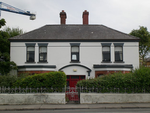 Ardmeenhouse · 511 yd
 Siege of Galwaysiege · 523 yd
 Dead Mans BeachBeach / strand · 646 yd
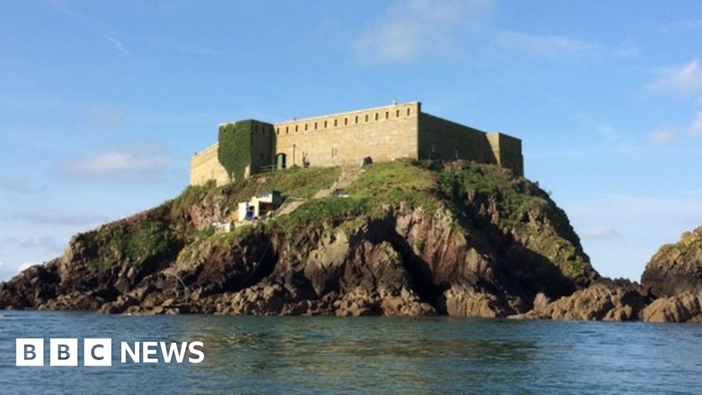 Rinmore or Cromwells FortBastioned fort · 702 yd
 Seán DugganMemorial · 774 yd
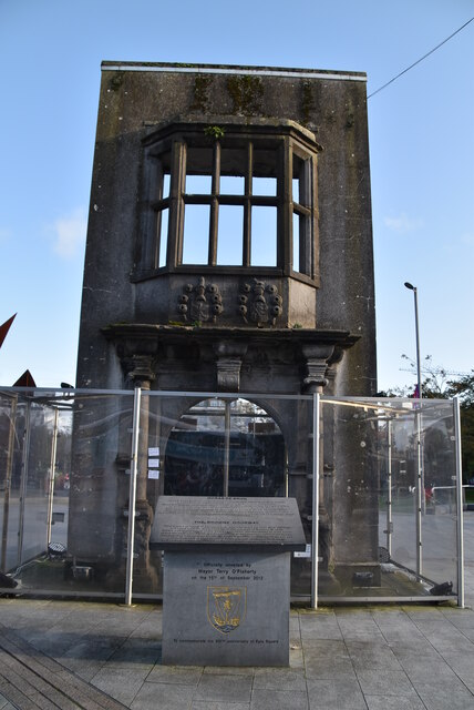 Browne DoorwayVisitor information · 1070 yd
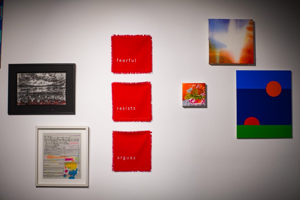 126 Artist-Run GalleryGallery · 1104 yd
 City WallsHeritage attraction · 1106 yd
 Mechanics InstituteMemorial · 1245 yd
 Lynch's CastleCastle · 1266 yd