What is recorded here
On seashore 1.5km ESE of Galway town (GA094-100----). A quadrangular earthen artillery fort (L/Wth 30m) with salient angle-bastions at each corner which is surrounded by an irregular fosse. The entrance, via a causeway, was midway along E side. The NE and SE bastions survive intact but NW is damaged by a 19th-C butt, and whole SW part of the fort has been eroded by the sea. Built in 1643, along with a sister fort near Nimmo's Pier (GA094-099002-), to command the sea approaches to the harbour. (Walsh 1988; Kerrigan 1980, 136; O'Dowd 1985, 28-9, 38-9)
The above description is derived from the published 'Archaeological Inventory of County Galway Vol. I - West Galway'. Compiled by Paul Gosling (Dublin: Stationery Office, 1993).
Date of upload: 05 August 2010
A local fairy fort (ringfort/rath); wider significance not recorded.
The monument record does not grant public access. Check the route and ask the landowner before entering private land.
- What survives
- Recorded monument
Places near here
 Old FortRuins · 15 yd
 Dead Mans BeachBeach / strand · 130 yd
 Dún Uí Mhaoilíosabarracks · 422 yd
 Siege of Galwaysiege · 807 yd
 Ballyloughane BeachBeach / strand · 1008 yd
 St. Augustines WellsHoly well · 1042 yd
 Fortification in Townparks (galway By., Rahoon Par.)Fortification · 1145 yd
 Seán DugganMemorial · 1211 yd
 Hare IslandIslet · 1338 yd
 City WallsHeritage attraction · 1360 yd
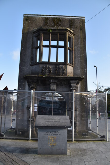 Browne DoorwayVisitor information · 1426 yd
 Mechanics InstituteMemorial · 1458 yd
Other information
Photo: Credit not shown in the picture search · Rights wording not checked; contact us if this picture should be removed