
What is recorded here
On the point of land, near the present Nimmo's Pier, which forms W bank of the River Corrib, 0.5km S of Galway town (GA094-100----). Built in 1643 along with a sister fort on E bank of the river (GA094-057----) which it may have closely resembled. Known as Rintinane fort after the 17th-C name for this point, it is shown on the pictorial map of Galway c. 1650. No visible surface trace of it survives and its exact position is uncertain. (Walsh 1988, 120-1)
The above description is derived from the published 'Archaeological Inventory of County Galway Vol. I - West Galway'. Compiled by Paul Gosling (Dublin: Stationery Office, 1993).
Date of upload: 05 August 2010
The monument record does not grant public access. Check the route and ask the landowner before entering private land.
- What survives
- Recorded monument
Places near here
 Nimmo's Pierpier/jetty · 61 yd
 Old Dockquay/wharf · 214 yd
 Galway City MuseumMuseum · 513 yd
 Spanish ArchHeritage attraction · 538 yd
 Hall of the Red EarlMemorial · 625 yd
 Christopher Columbus MonumentMemorial · 631 yd
 Fortification in Townparks (galway By., St. Nicholas Par.)Fortification · 640 yd
 Blake's CastleCastle · 652 yd
 CrossCross, Market cross · 762 yd
 Lynch's CastleCastle · 809 yd
 Siege of Galwaysiege · 862 yd
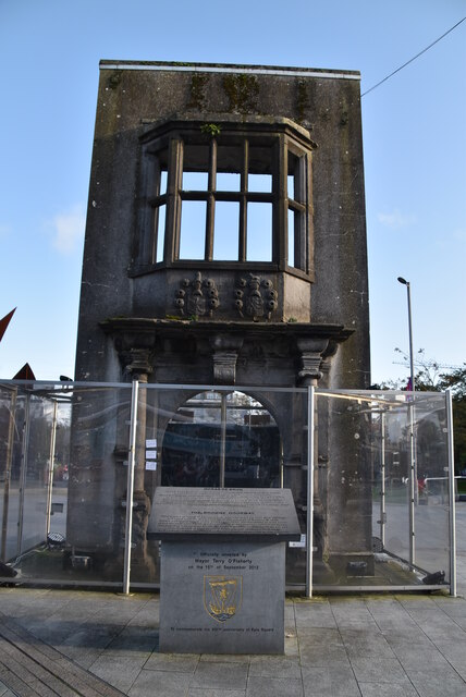 Browne DoorwayVisitor information · 958 yd
Other information
Photo: Credit not shown in the picture search · Rights wording not checked; contact us if this picture should be removed