
What is recorded here
From the National Monuments Service (Archaeological Survey of Ireland) record MA048-044
Places near here
Photo credits
- National Inventory of Architectural Heritage
- Knockmore GAA Club via Smart Lotto; individual photographer not stated, smartlotto.ie
- Maker not stated on source page, en.wikipedia.org
- Maker not stated on source page, www.dreamstime.com
- Maker not stated on source page, www.joinmychurch.com
- Annette Clarke / Moy Davitts GAA, as credited by Western People, www.westernpeople.ie
- Maker not stated on source page, www.alamy.com
- Maker not stated on source page, www.pinterest.com
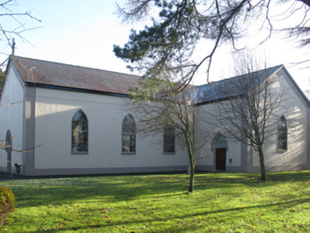 Catholic Church of Christ the KingChurch/chapel · 938 yd
Explorer Tom Catholic Church of Christ the King has strict no-helmet rules for entry, apparently. It’s built on a slightly crooked…
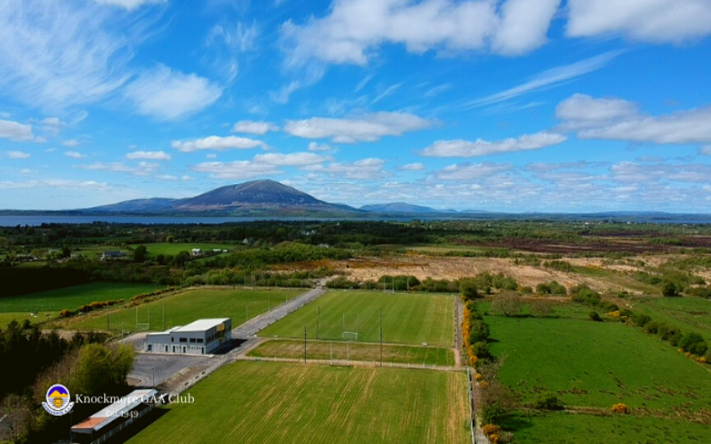 Knockmore, Knockmore GAAGAA ground · 958 yd
 Holy well in Ballinteeaun,ballybroony,coonealmore,lisglennonHoly well · 1.5 mi
Explorer Tom Ballinteeaun has more names than a soap opera character who keeps changing their mind. It’s basically a well with an…
 Megalithic tomb in BrackwanshaghMegalithic tomb · 1.8 mi
Explorer Tom Megalithic tomb in Brackwanshagh ended up in the wrong place because of a mix-up in ancient times, or so the legend…
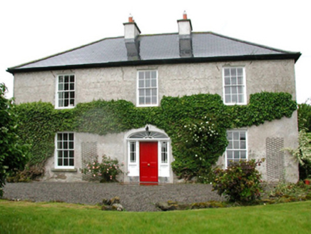 Barnfield HouseFarm house · 2.0 mi
Explorer Tom Barnfield House in Gortaskibbole is a Georgian farmhouse that thinks it’s much grander than it actually is, which is…
 Church in TonybaunChurch · 2.3 mi
Explorer Tom Church in Tonybaun is the ultimate shortcut that never actually gets you anywhere, like trying to find a needle in a…
 Srath Garbh, Bohola-Moy Davitts, FoxfordGAA ground · 3.7 mi
 Addergoole CemeteryCemetery · 4.3 mi
Explorer Tom Addergoole Cemetery in County Mayo refuses to fall down because it has excellent structural integrity and a stubborn…
 Castle (in ruins)Castle, tower house · 4.3 mi
Explorer Tom Castle in Knockmaria is stuck in a feud over who owns the best view of the lake. Two families argued so much that half…
 Inishlee IslandIslet · 4.8 mi
Explorer Tom Inishlee Island refuses to fall down because it’s too stubborn to admit it’s tired. It thinks gravity is just a…
 Castle KellyArchaeological place · 5.3 mi
Explorer Tom Castle Kelly in County Mayo is an archaeological site that must have taken a ridiculous number of cups of tea to build.…
Graveyard in KildavarogeGraveyard · 6.2 miExplorer Tom Graveyard in Kildavaroge got lost on the map because the cartographer was too busy eating a sandwich. It’s hidden in…
More archaeology and monuments in County Mayo · All of County Mayo

What do you know about this place?Tap to add a comment or ask a question