What is recorded here
14m S of the gatehouse are the sod-covered foundations of a large, rectangular house. Measuring 12m NW-SE x 7m NE-SW externally, its .9m thick walls are built of coursed slabs and survive to an average internal height of .7m. The house has a pair of opposed entrances which measure, on average, .65m wide. These occur towards its NW end, which is raised above average internal ground level. O'Sullivan and J. Sheehan (compilers), 'The Iveragh peninsula: an archaeological survey of South Kerry'. Cork University Press (1996), no. 449.
From the National Monuments Service (Archaeological Survey of Ireland) record KE087-046002
Places near here
Photo credits
- Martin Southwood, Wikimedia Commons · CC BY-SA 2.0
- Marco Ober, Wikimedia Commons · CC BY-SA 4.0
- N Chadwick, Geograph · CC BY-SA 2.0
- Martin Creek, Wikimedia Commons · CC BY-SA 2.0
- Espresso Addict, Geograph · CC BY-SA 2.0
- kevin higgins, Wikimedia Commons · CC BY-SA 2.0
- National Inventory of Architectural Heritage
- Richard Smith, Geograph · Creative Commons Attribution-ShareAlike 2.0
- Hywel Williams, Geograph · CC BY-SA 2.0
- Jibi44, Wikimedia Commons · CC BY-SA 2.5
- Doug Snider, Wikimedia Commons · Public domain
- Jonathan Billinger, Wikimedia Commons · CC BY-SA 2.0
 Horse IslandIslet · 604 yd
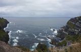 Kerry CliffsHeritage attraction · 1405 yd
 Telegraph Field Valentia IslandMemorial · 1.1 mi
 Bray Head Signal TowerRuins · 1.3 mi
 Bray HeadMountain / peak · 1.4 mi
 Tobairin Holy WellSpring · 1.7 mi
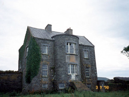 Belle VilleFarm house · 2.0 mi
 Tobar Olla BrenainnHoly well · 2.2 mi
 Culloo RockViewpoint · 2.5 mi
 ValentiaIsland · 2.6 mi
 Fogher CliffCliff · 3.6 mi
 GeokaunMountain / peak · 3.8 mi
More historic places in County Kerry · All of County Kerry

What do you know about this place?Tap to add a comment or ask a question