What is recorded here
In pasture, on W side of Blind Harbour, with extensive coastal views. Circular area (18.9m N-S; 18.6m E-W) enclosed by low, collapsed, partially grass-covered stone wall. Field fence runs E-W across interior to N. Cultivation ridges cross interior on N-S axis.
The above description is derived from the published 'Archaeological Inventory of County Cork. Volume 1: West Cork' (Dublin: Stationery Office, 1992). In certain instances the entries have been revised and updated in the light of recent research.
Date of upload/revision: 14 January 2009
The monument record does not grant public access. Check the route and ask the landowner before entering private land.
- What survives
- Recorded monument
Places near here
 Ring Fort / LiosArchaeological place · 11 yd
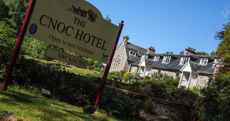 Cnoc Sheáin de BarraMountain / peak · 270 yd
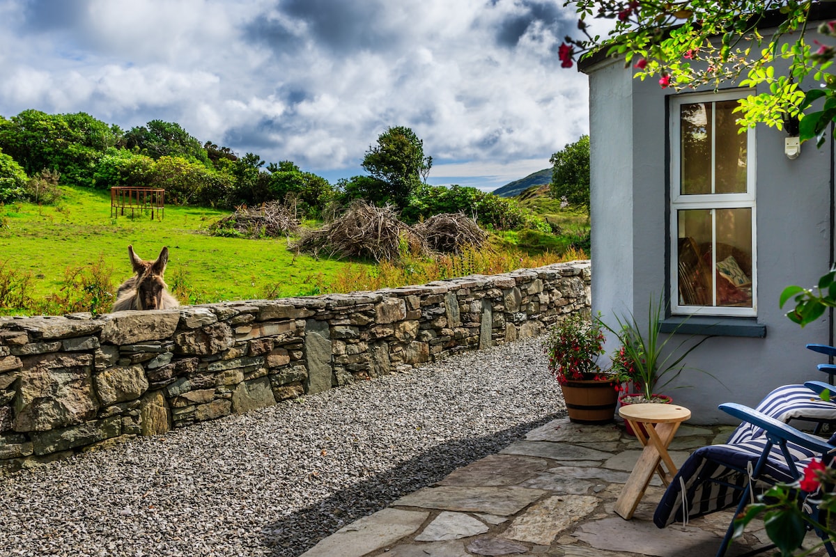 Hut site in Reen (carbery West (e.d) By.)Hut site · 351 yd
 Trá na MuilleenBeach / strand · 373 yd
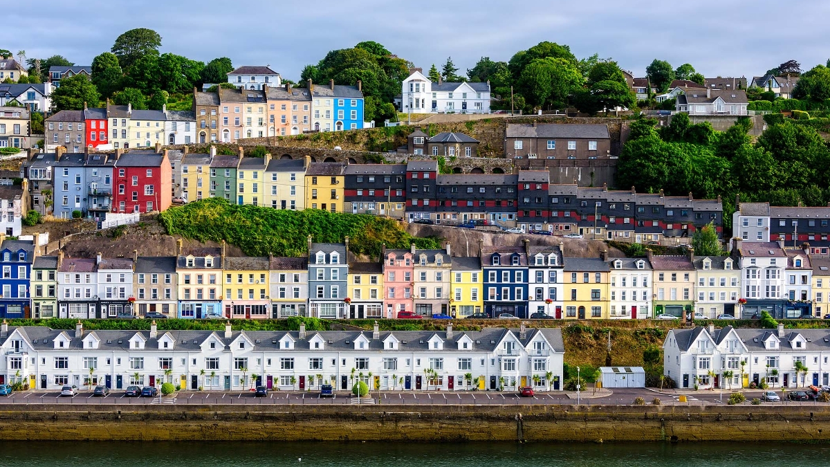 Cuaisín an GhainimhBay · 461 yd
 Peggy's MeadowWood · 597 yd
 Tráig MórBeach / strand · 676 yd
 Carraig a NéalladóraMountain / peak · 944 yd
 Myross ChurchRuins · 1068 yd
 Faill FraoighCliff · 1074 yd
 Cat IslandIslet · 1218 yd
 Bayard Warren PlaqueMemorial · 1321 yd