What is recorded here
A continuous curving section of flat-topped bank (L 150m; Wth at top 1.60m; Wth at base 10m; H.0.80m) which runs on a NNE -WSW axis. It follows the line of the county boundary and is in flat coastal terrain with view onto the Sugarloaf Mountain to the S. Some mature Sycamores grow along the side. Possibly part of the Pale Ditch. (pers. comm. Rob Goodbody; SMR file DU026-124----)
Archaeological test trenching was carried out on a section of this ditch in 2002 (Excavation Licence 02E1717), the results suggested that it had been levelled in the area tested during the construction of the golf course (Gowan 2004, 533). Archaeological monitoring, carried out as part of the Shanganagh and Bray main drainage scheme in 2005 (Excavation Licence 02E1717 ext.), uncovered a low much-degraded bank (Wth 5.5m; H c. 0.3m) and a ditch (Wth 2.5m; D 0.6m) alongside it to the S (Moriarty 2005, 417).
Compiled by: Claire Breen
Date of upload: 29 January 2013
The monument record does not grant public access. Check the route and ask the landowner before entering private land.
- What survives
- Recorded monument
Places near here
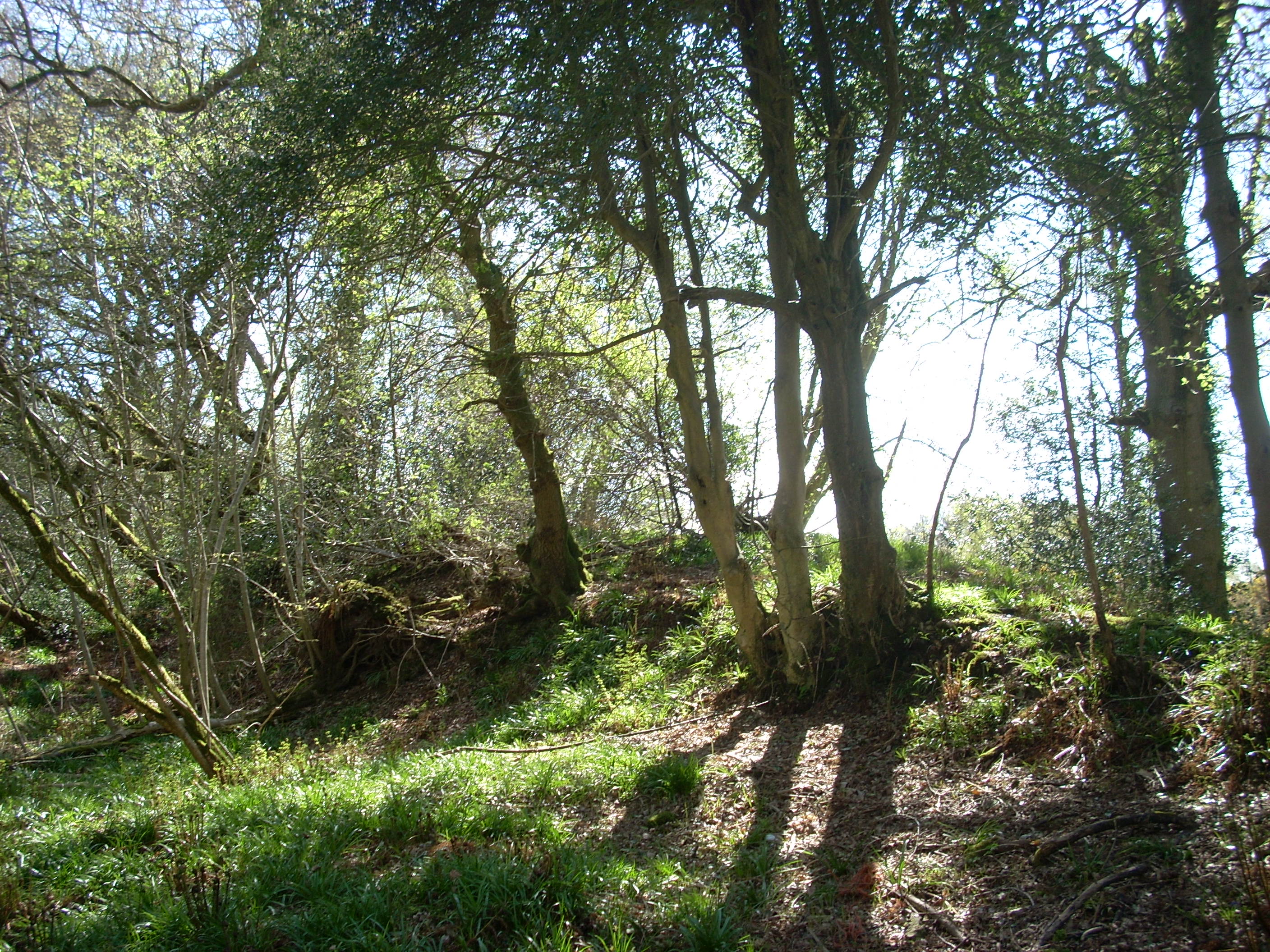 Linear earthwork in Cork GreatLinear earthwork · 122 yd
 Abbey WellHoly well · 395 yd
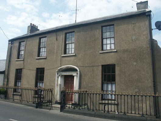 Cooleyhouse · 495 yd
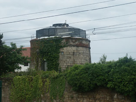 Bray Martello Towermartello tower · 569 yd
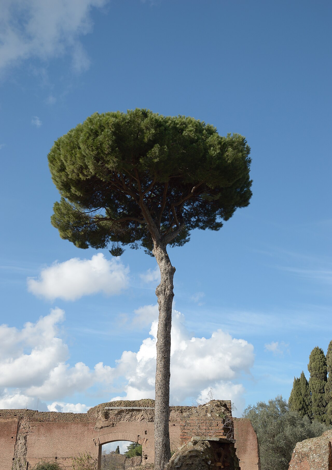 Stone PineStone Pine · 598 yd
 Cas.Castle, tower house · 602 yd
 Christopher ThompsonMemorial · 682 yd
 European YewEuropean Yew · 715 yd
 St. James GateVisitor information · 1.0 mi
 Naylor's CoveBeach / strand · 1.3 mi
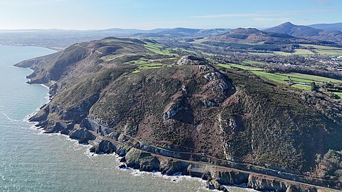 Bray HeadMountain / peak · 1.7 mi
 IndicatedCastle, tower house · 1.8 mi