What is recorded here
This monument is shown on the 1838 and the 1929 OS 6-inch maps and was listed as ‘enclosure’ in the RMP (1996) for Co. Mayo. It was recorded in An Archaeological Survey of Ballinrobe and District (Lavelle 1994, 10, no. 50) as follows: ‘Barrow In pasture, atop knoll. Circular raised area (13.8m N–S; 14m E–W; H 0.3m), enclosed by earthen bank (H 0.6m). Linear earthen bank runs off W side.’ The barrow was still extant in 2005 as it was recorded on the OS Ortho aerial photographs. An inspection in July 2012 found that all upstanding remains of the barrow had been destroyed during land reclamation sometime during the period 2005-2011. The earthen bank, which extended to the W of the barrow, was also removed.
Compiled by: Jane O’Shaughnessy
Date of upload: 23 July 2012.
The monument record does not grant public access. Check the route and ask the landowner before entering private land.
- What survives
- Recorded monument
Places near here
 Abbey in ruinsChurch · 415 yd
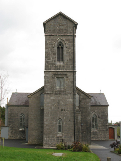 Saint Patrick's Catholic Churchchurch/chapel · 636 yd
 RatheenagooaghFairy fort / earthen ringfort · 721 yd
 IndicatedEnclosure · 828 yd
 Killernan CastleCastle · 1123 yd
 Bawn in Kilquire LowerBawn · 1.1 mi
 European YewEuropean Yew · 2.8 mi
 Cregg PlantationForest · 3.8 mi
 Gibbs IslandsIslet · 6.2 mi
 School of FalconryHeritage attraction · 7.7 mi
 Inis Mhic an TrírIsland · 7.9 mi
 Ard na GaoitheHeritage attraction · 8.6 mi