What is recorded here
In pasture. Shown on OS map (1929) as circular enclosure (est. max. diam. c. 38m). Levelled; no visible surface traces. The above description has been derived from D. Lavelle (compiler), An Archaeological Survey of Ballinrobe and District including Lough Mask and Lough Carra. Lough Mask and Lough Carra Tourist Development Association (1994), No. 460.
From the National Monuments Service (Archaeological Survey of Ireland) record MA118-117
Places near here
Photo credits
- Geograph contributor · CC BY-SA 2.0
- National Inventory of Architectural Heritage
- Sitomon, Wikimedia Commons · CC BY-SA 2.0
- Nigel Thompson, Wikimedia Commons · CC BY-SA 2.0
- Bmcgeene, Wikimedia Commons · CC BY-SA 4.0
- Mike Searle, Wikimedia Commons · CC BY-SA 2.0
- Christian Pirkl, Wikimedia Commons · CC BY-SA 3.0 at
- Wanfried-Dublin, Wikimedia Commons · CC BY-SA 3.0
- Rick Crowley, Wikimedia Commons · CC BY-SA 2.0
 Killernan CastleCastle · 295 yd
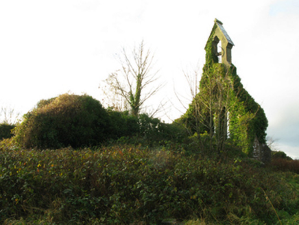 Holy Trinity Church (Kilmainemore)Church/chapel · 1076 yd
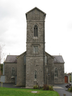 Saint Patrick's Catholic ChurchChurch/chapel · 1299 yd
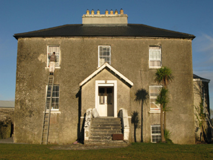 rectory/glebe/vicarage/curate's house1349 yd
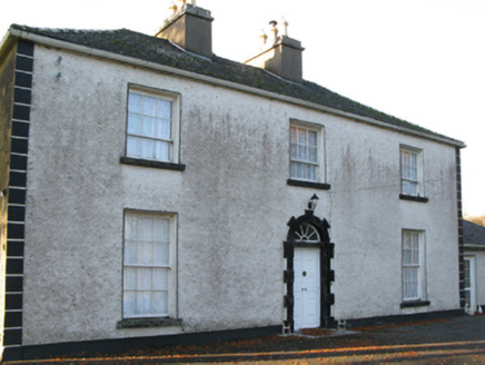 Fort VilleFarm house · 1442 yd
 European Yew2.3 mi
 The Gods of the Neale MonumentMonument · 4.6 mi
 Shrule AbbeyArchaeological place · 4.7 mi
_(geograph_5829222).jpg/250px-Castles_of_Connacht-_Shrule,_Mayo_-_revisited_(4)_(geograph_5829222).jpg "Photo: Mike Searle, Wikimedia Commons · CC BY-SA 2.0") Shrule CastleCastle · 4.7 mi
Shrule CastleCastle · 4.7 mi Sycamore4.8 mi
 Kilcoona Round TowerHeritage attraction · 10 mi
 Inis an GhaillIsland · 11 mi
More archaeology and monuments in County Mayo · All of County Mayo

What do you know about this place?Tap to add a comment or ask a question