What is recorded here
In level grassland. This poorly preserved D-shaped rath (41.3m N-S; 38.3m E-W), with a straight SW side, is defined by a collapsed bank of earth and stone, which is obscured by overgrowth from NW through E to S. Elsewhere a scarp forms the enclosing element.
Compiled by: Galway Archaeological Survey, UCG
Date of upload: 13 March 2018
A local fairy fort (ringfort/rath); wider significance not recorded.
The monument record does not grant public access. Check the route and ask the landowner before entering private land.
- What survives
- Recorded monument
Places near here
 Tobereendoney Holy WellHoly well · 409 yd
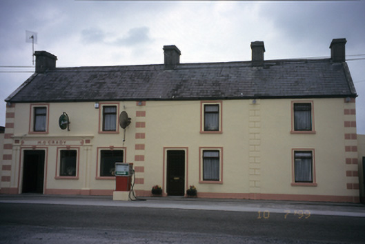 M. O'Gradyhouse · 536 yd
 Tubber Railway Stationrailway station · 774 yd
 Enclosure in CarrowcraheenEnclosure · 1067 yd
 Fiddaun Castle (in ruins)Castle, tower house · 1723 yd
 Bawn in Fiddaun (kiltartan By.)Bawn · 1.0 mi
 Kilmacduagh MonasteryHeritage attraction · 3.6 mi
 Kilmacduagh Monastic SiteVisitor information · 3.6 mi
 Swan IslandIsland · 3.8 mi
 Mulkere MemorialMemorial · 4.0 mi
 Apple IslandWood · 4.3 mi
 Keaghery IslandWood · 4.6 mi