What is recorded here
Indicated is a twenty-metre fairy fort on a narrow Mayo ridge, visible in 1838 but erased from later maps. Its steep gravel scarp still cuts the pasture, while a gentle eastern slope hints at the entrance used by forgotten lives. The fort straddles the ridge like a buried chest, waiting for someone reckless enough to open it.
In pasture, straddles the narrow top at the NNW end of a low NNW–SSE ridge, with good views over an undulating landscape.
A circular enclosure (diam. c. 20m), incorporated into a field boundary on the SE side, is shown on the 1838 OS 6-inch map; it is not shown later map editions.
Raised oval area (27.3m NNW-SSE; 20m ENE–WSW) defined by a scarp (H 1.5-1.7m), truncated slightly at SE by a field fence/property boundary on a NE–SW axis. The natural fall of ground enhances the scarp, which is particularly high and steep on the N half of its circuit. In parts, especially to W the scarp presents an almost vertical face, which may be the result of relatively recent modification of the enclosure. The scarp retains a hint of an internal rim at SW. The entrance may have been to E where there is a broader, gentler slope.
The interior has a slightly raised central ENE-WSW spine which gives it a somewhat domed profile. There is a markedly slope down from the centre to NE–E. A level terrace (W 3-4m) skirts the base of the scarp N–E but it is unclear if this is evidence for an outer enclosing element. The core of the platform appears to be compact gravel-rich earth.
Compiled by: Jane O’Shaughnessy
Date of upload: 24 September 2021
The monument record does not grant public access. Check the route and ask the landowner before entering private land.
- What survives
- Recorded monument
Places near here
 IndicatedFairy fort / earthen ringfort · 1111 yd
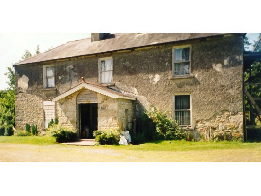 Killedan Housefarm house · 1245 yd
 Killedan ChurchChurch · 1.2 mi
 CrossCross · 2.0 mi
 I'll Send You The FareMemorial · 2.3 mi
 Thorn CaveCave · 2.5 mi
 Kiltimagh MuseumMuseum · 2.5 mi
 Carrowbeg WoodWood · 3.0 mi
 CashlankeeghCastle, unclassified · 3.3 mi
 Castle in RuinsCastle, unclassified · 4.6 mi
 Michael DavittMemorial · 5.1 mi
 Brabazon WoodsForest · 5.5 mi