What is recorded here
Indicated is a circular fairy fort on the eastern slope of a Mayo hill, its earthen bank still standing one metre high after centuries of rain and pasture traffic. The collapsed underground passage at the south edge suggests people once built more than a boundary, perhaps a hiding place or a room for the dead. Cattle graze above that forgotten depth now, unaware they tread across a threshold someone else intended to keep private.
In pasture, on E slope of hill. Circular area (44m N-S; 44m E-W), enclosed by tree covered, earthen bank (H 1m). Collapsed Man-made underground passage (MA110-051002-) in the S of interior.
The above description has been derived from D. Lavelle (compiler), An Archaeological Survey of Ballinrobe and District including Lough Mask and Lough Carra. Lough Mask and Lough Carra Tourist Development Association (1994), No. 207.
Date of upload: 30 October 2013
The monument record does not grant public access. Check the route and ask the landowner before entering private land.
- What survives
- Recorded monument
Places near here
 IndicatedChurch · 584 yd
 EnclosureEnclosure, large enclosure · 1027 yd
 Standing StoneMonument · 1401 yd
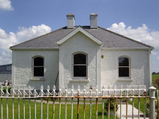 Creagh Housegate lodge · 1.1 mi
 Rat IslandIslet · 1.1 mi
 CastleCastle, unclassified · 1.7 mi
 Stare IslandIslet · 1.8 mi
 European ashEuropean ash · 1.9 mi
 Castle in ruinsCastle, unclassified · 2.0 mi
 LabbadermotCave · 2.8 mi
 SycamoreSycamore · 3.3 mi
 Devenish RocksNamed rock · 4.1 mi