What is recorded here
In pasture, located on ridge, with excellent views in all directions. Shown on the 1838 and 1930 OS 6-inch maps as circular embanked enclosure (diam. c. 25-30m), probably a ringfort. According to local information, this enclosure was levelled in the early 20th century. Slight surface undulations mark the location.
Compiled by: Jane O’Shaughnessy
Date of upload: 27 January 2020
A local fairy fort (ringfort/rath); wider significance not recorded.
The monument record does not grant public access. Check the route and ask the landowner before entering private land.
- What survives
- Recorded monument
Places near here
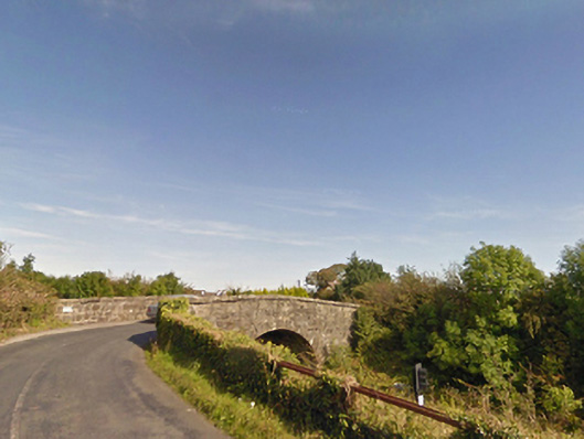 bridgebridge · 804 yd
 IndicatedFairy fort / earthen ringfort · 1136 yd
 Dolmen of the four MaolsArchaeological place · 1.2 mi
 Ballina Railway Stationrailway station · 1.3 mi
 CastleCastle, unclassified · 1.3 mi
 Gull IslandIslet · 1.7 mi
 Humbert MonumentMemorial · 1.8 miBattle of Ballinabattle · 1.8 mi
 Belleck CastleCastle, unclassified · 2.2 mi
 The Marshall Doran CollectionGallery · 3.0 mi
 Belleek WoodsWood · 3.2 mi
 FloretteWreck · 3.2 mi