What is recorded here
Built into a gentle N-facing slope adjacent to an access road to the Cork-Killarney railway line. The random rubble front wall (H 3m; Wth 4.2m) faces N. There is a central arched recess (H c. 1.8m; Wth 1.8m) with an nner lintelled arch and sloping slabs to the rear. The stone-lined funnel is infilled to 1m from the top. There is an earthen ramp at the rear.
Compiled by: Elizabeth Byrne, Ursula Egan and Sheila Ronan, Archaeological Survey Unit, University College, Cork.
Date of upload: 31 January 2011
The monument record does not grant public access. Check the route and ask the landowner before entering private land.
- What survives
- Recorded monument
Places near here
 Rathmore Railway Stationrailway station · 881 yd
 Burnt spread in IslandearaghBurnt spread · 1083 yd
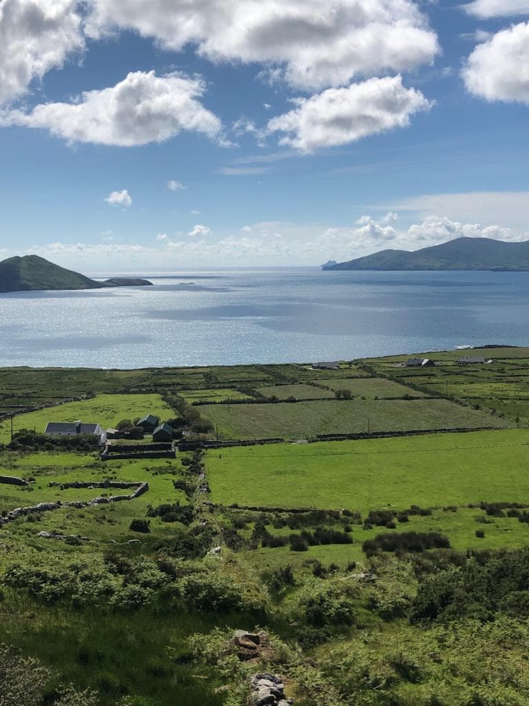 Enclosure in Rath More (magunihy By., Rathmore Ed)Enclosure · 1151 yd
 Ballycullane Br.Bridge · 1301 yd
 Nohaval WoodWood · 1.3 mi
 Caherbarnagh NW TopMountain / peak · 4.0 mi
 CaherbarnaghMountain / peak · 4.4 mi
 BarraduffMemorial · 4.8 mi
 Barna BogForest · 5.8 mi
 Killaha Castle (in Ruins)Castle, tower house · 8.0 mi
 Castle (Site of)Castle, unclassified · 10 mi
 Lissivigeen Stone CircleHeritage attraction · 10 mi