
What is recorded here
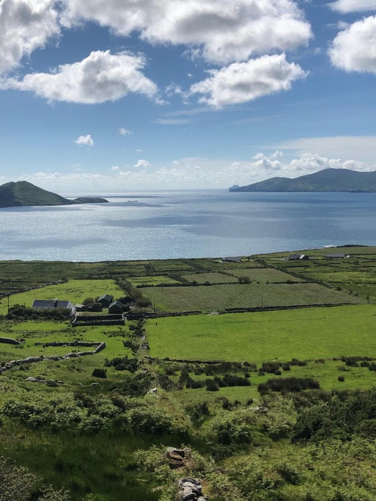
In pasture, on a S-facing slope with views SW to the Paps of Dana. Recent drainage works have exposed a layer of burnt material (4m N-S; D 0.7m) on the W face of the bank of a stream. The layer profile narrows towards both ends. Some burnt material is also visible in the bed of the stream. A spread of burnt material (4m N-S; 2m E-W) is visible on the surface of the W bank of the stream. This is the fulacht fia measuring '4 feet [1.21m] square' recorded in the 1940s in Dan Donoghue's land (Schools Manuscript, Co. Kerry). Two other burnt spreads (KE060-020001-, KE060-080----) are c. 15m to the E and c. 150m to the S, respectively.
Compiled by: Elizabeth Byrne, Ursula Egan and Sheila Ronan, Archaeological Survey Unit, University College, Cork.
Date of upload: 31 January 2011
The monument record does not grant public access. Check the route and ask the landowner before entering private land.
- What survives
- Recorded monument
Places near here
 Rathmore Railway Stationrailway station · 1408 yd
 Nohoval Bridgebridge · 1595 yd
 Nohaval WoodWood · 1672 yd
 Round Tower (Site of)Round tower · 1.1 mi
 Enclosure in Rath More (magunihy By., Rathmore Ed)Enclosure · 1.3 mi
 Caherbarnagh NW TopMountain / peak · 4.5 mi
 CaherbarnaghMountain / peak · 4.9 mi
 BarraduffMemorial · 5.1 mi
 Barna BogForest · 5.4 mi
 Killaha Castle (in Ruins)Castle, tower house · 8.4 mi
 Lissivigeen Stone CircleHeritage attraction · 10 mi
 Mass RockNamed rock · 10 mi
Other information
Photo: Credit not shown in the picture search · Rights wording not checked; contact us if this picture should be removed