What is recorded here
From the National Monuments Service (Archaeological Survey of Ireland) record KE060-048
Places near here
Photo credits
- Donal.hunt, Wikimedia Commons · CC BY-SA 4.0
- Maker not stated on source page, en.m.wikipedia.org
- Maker not stated on source page, oldeuropeanculture.blogspot.com
- Maker not stated on source page, www.irishexaminer.com
- Maker not stated on source page, commons.wikimedia.org
- National Inventory of Architectural Heritage
- Maker not stated on source page, www.bigstockphoto.com
- Maker not stated on source page, www.pinterest.com
- Maker not stated on source page, www.gettyimages.com
- Michelle Cooper Galvin / Irish Examiner, www.irishexaminer.com
 Rathmore Railway StationRailway station · 881 yd
Explorer Tom Rathmore Railway Station has a shortcut that leads you back to where you started. Opened in 1855, it has survived more…
 Ecclesiastical enclosure in Rath More (magunihy By., Rathmore Ed)Ecclesiastical enclosure · 1191 yd
Explorer Tom Ecclesiastical enclosure in Rath More would win the county fair by simply standing there looking majestic while…
 Bullaun stone in Rath More (magunihy By., Rathmore Ed)Bullaun stone · 1220 yd
Explorer Tom Bullaun stone in Rath More is picking its nose with three deep bowls, looking absolutely unbothered by your arrival. It…
 Enclosure in Rath More (magunihy By., Rathmore Ed)Enclosure · 1220 yd
Explorer Tom Enclosure in Rath More is a cropmark that refuses to show its face on the ground, like a shy celebrity hiding behind a…
 Mapped graveyardGraveyard · 1536 yd
Explorer Tom This mapped graveyard in County Kerry would handle a nosey neighbour by growing extra thorns on its hedges and looking…
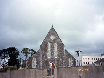 Saint Joseph's Catholic ChurchChurch/chapel · 1538 yd
Explorer Tom Saint Joseph's Catholic Church in Rathmore got lost en route to a bigger parish and never checked its map. The Gothic…
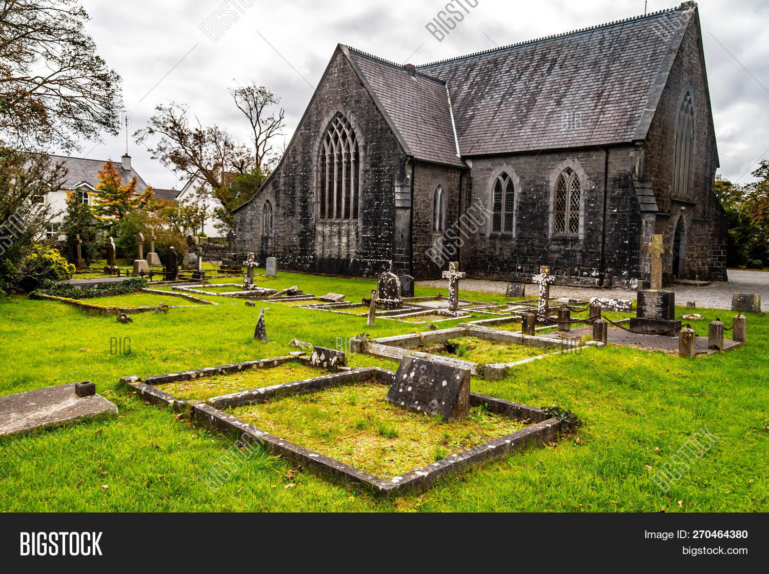 St. Joseph's Church CemeteryGraveyard · 1621 yd
Explorer Tom St. Joseph's Church Cemetery thinks tourists from Dublin always wear the wrong socks and talk too loudly about their…
 Fairy fort / earthen ringfort in Shinnagh (magunihy By.)Fairy fort / earthen ringfort · 1691 yd
Explorer Tom Fairy fort / earthen ringfort in Shinnagh has been dodging the bishop since the eighteenth century. He probably thought…
 Nohoval BridgeBridge · 1.1 mi
Explorer Tom Nohoval Bridge is solid rubble with cut-stone voussoirs that probably cost a fortune back in the day. It’s a testament…
 Nohaval BridgeBridge · 1.1 mi
Explorer Tom Nohaval Bridge is on the border between Cork and Kerry, which means it gets the blame for both counties' traffic jams.…
 Fairy fort / earthen ringfort in ScrahanagullaunFairy fort / earthen ringfort · 1.2 mi
Explorer Tom Scrahanagullaun’s fairy fort is hiding from its own ghost because the spirit is too lazy to haunt it properly. The hill…
 Rathmore GAA pitchGAA ground · 1.5 mi
More historic places in County Kerry · All of County Kerry

What do you know about this place?Tap to add a comment or ask a question