What is recorded here
The Urban Survey of Limerick recorded the following details about the historic bridge of Rathkeale; 'The bridge is mentioned in 1655 as being in the possession of M. Harbart who also owned the castle (Westropp 1906-7, 214). Lewis (1837, ii, 499) notes that it was 'in a delapidated and dangerous state'. The present two-part remains probably incorporate the medieval bridge. The original width of the bridge was 4.7m which was subsequently widened to 7.8m. It is built of rubble limestone. The central arches were re-faced but traces of the original arches with wicker work centering can be seen in two round arches on either side of the river and in the central arch' (Bradley et. al. 1989, 219).
Deel Bridge described by the National Inventory of Architectural Heritage as a; ‘Five-arch humpback road bridge, originally built c. 1747, carrying a road over the River Deel. Bridge incorporates earlier fabric. Rubble stone walls with segmental arches having cut stone voussoirs rubble stone V-cutwaters with rendered plinths’ (www.buildingsofireland.ie; Reg. No. 21831007).
Compiled by: Denis Power
Revised by: Caimin O'Brien
Date of revised upload: 14 January 2019
The monument record does not grant public access. Check the route and ask the landowner before entering private land.
- What survives
- Recorded monument
Places near here
 Christopher Lynch Bridgebridge · 1 yd
 house, gasworkshouse, gasworks · 78 yd
 RathkealeHistoric town · 268 yd
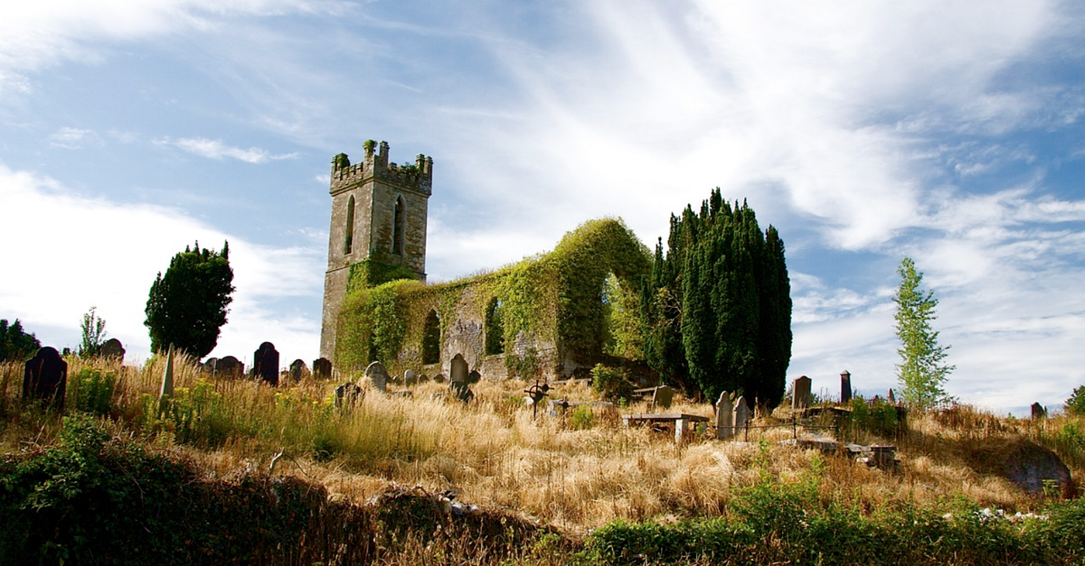 Grave YardGraveyard · 339 yd
 Glebe CastleCastle · 526 yd
 Castle MatrixCastle, tower house · 1027 yd
 TobernablahySpring · 1.6 mi
 European ashEuropean ash · 2.4 mi
 St. Kieran's WellSpring · 2.7 mi
 Flat cemetery in CroaghFlat cemetery · 2.9 mi
 Flat cemetery in Kiltenan SouthFlat cemetery · 4.6 mi
 Little HeavenHeritage attraction · 5.7 mi