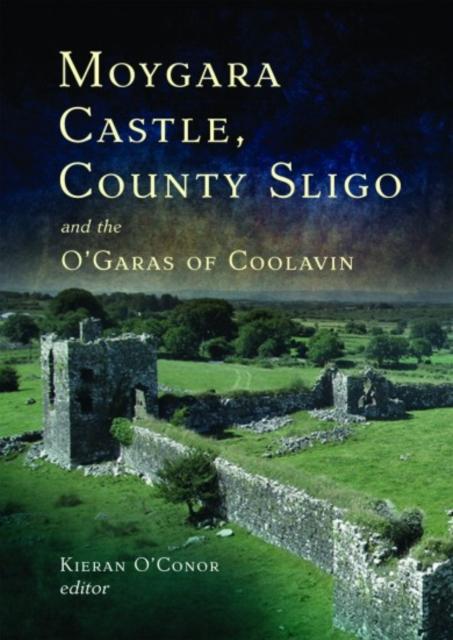
What is recorded here
Situated on an area of level ground in undulating pasture. Oval area (30m NW-SE; 26m NE-SW) enclosed by a substantial earthen bank (Wth 5.3-5.7m; int. H 1.5-1.8m; ext. H 1.3-1.6m) outside which at SSE-WNW is an external fosse (Wth 2.4m). At the outer foot of the fosse at SSE-WNW is a second bank (Wth 1.5m; int. H 0.8m; ext. H 0.9m) with an external fosse (Wth 2.5m) and a third bank (Wth 1.8m; int. H 0.4m; ext. H 1m). There is a break (Wth 3m) in the inner bank at E. At SW there is a another break (Wth 3.5-4m) in the inner bank and corresponing breaks in the two outer banks. Adjacent to this in the interior is an irregularly-shaped sod-covered mound (9.8m N-S; 8.8m E-W - H 1.8m). Located against the inner face of the bank at NE and S are two hollows (max dim. c. 6-8m; D 0.3-0.5m). The mound and and hollows appear to be the result of relatively modern disturbance.
Compiled by: Patrick F. O'Donovan
Date of upload: 19 January 2011
The monument record does not grant public access. Check the route and ask the landowner before entering private land.
- What survives
- Recorded monument
Places near here
 Cross (present location) in Rathglass (tireragh By., Castleconor West Ed)Cross (present location) · 920 yd
 Castletown Housecastle/fortified house · 1215 yd
 Enclosure in CottlestownEnclosure · 1283 yd
 CastleCastle, unclassified · 1630 yd
 Grave of the Black PigArchaeological place · 1.9 mi
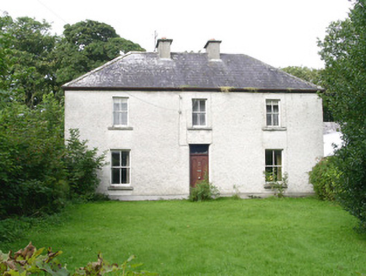 Ashdalehouse · 2.1 mi
 The Black PigMemorial · 2.4 mi
 Castleconnor (in Ruins)Castle, hall-house · 2.7 mi
 Rosserk AbbeyHeritage attraction · 2.9 mi
 Rinnachurry PointHeadland · 2.9 mi
 HawthornHawthorn · 2.9 mi
 Enniscrone BeachBeach / strand · 3.0 mi
Other information
Photo: Credit not shown in the picture search · Rights wording not checked; contact us if this picture should be removed